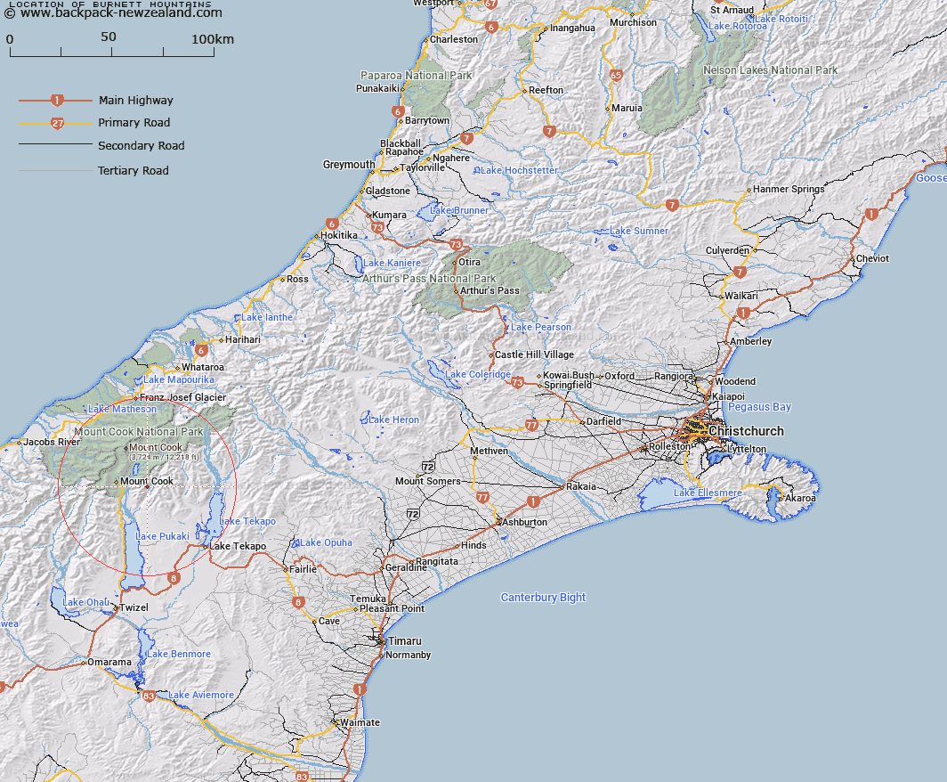
Map showing location of Burnett Mountains
LINZ description: Range of peaks extending generally southwards from the Nuns Veil on the Liebig Range through Mounts Bruce and Little, Brass Peak, and Mount German, to Mount Burnett [Trig. O (Geodetic Code A9A3)]. Blocks II, VI, VII, and XI Cass Survey District.
Latitude: -43.752242
Longitude: 170.23254
Northing: 5151921.9
Easting: 1377196.2
Land District: Canterbury
Feat Type: Hill
Latitude: -43.752242
Longitude: 170.23254
Northing: 5151921.9
Easting: 1377196.2
Land District: Canterbury
Feat Type: Hill

Scroll down to see a more detailed road map and below that a topographical map showing the location of Burnett Mountains. The road map has been supplied by openstreetmap and the topographical map of Burnett Mountains has been supplied by Land Information New Zealand (LINZ).
Yes you can use the top static map for you school/university project or personal website with a link back. Contact me for any commercial use.
[ A ] [ B ] [ C ] [ D ] [ E ] [ F ] [ G ] [ H ] [ I ] [ J ] [ K ] [ L ] [ M ] [ N ] [ O ] [ P ] [ Q ] [ R ] [ S ] [ T ] [ U ] [ V ] [ W ] [ X ] [ Y ] [ Z ]