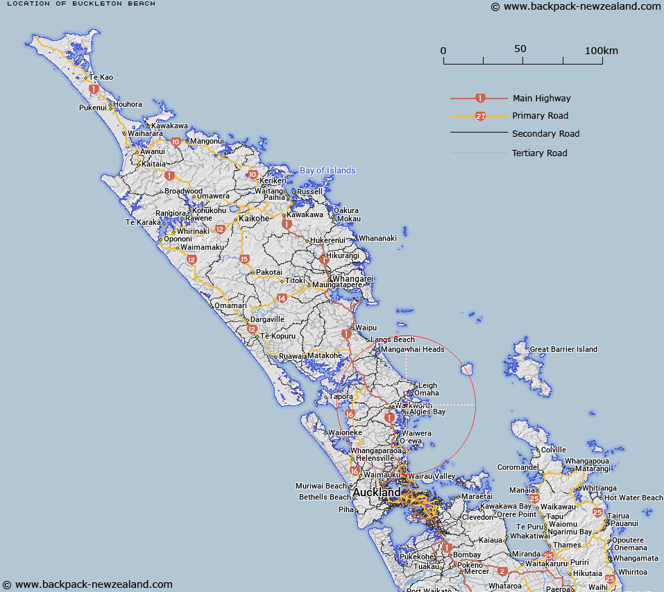
Map showing location of Buckleton Beach
LINZ description: Locality northern shore of Kawau Bay at Wanns Bay.
Latitude: -36.391583
Longitude: 174.747244
Northing: 5971200
Easting: 1756700
Land District: North Auckland
Feat Type: Locality
Latitude: -36.391583
Longitude: 174.747244
Northing: 5971200
Easting: 1756700
Land District: North Auckland
Feat Type: Locality

Scroll down to see a more detailed road map and below that a topographical map showing the location of Buckleton Beach. The road map has been supplied by openstreetmap and the topographical map of Buckleton Beach has been supplied by Land Information New Zealand (LINZ).
Yes you can use the top static map for you school/university project or personal website with a link back. Contact me for any commercial use.
[ A ] [ B ] [ C ] [ D ] [ E ] [ F ] [ G ] [ H ] [ I ] [ J ] [ K ] [ L ] [ M ] [ N ] [ O ] [ P ] [ Q ] [ R ] [ S ] [ T ] [ U ] [ V ] [ W ] [ X ] [ Y ] [ Z ]