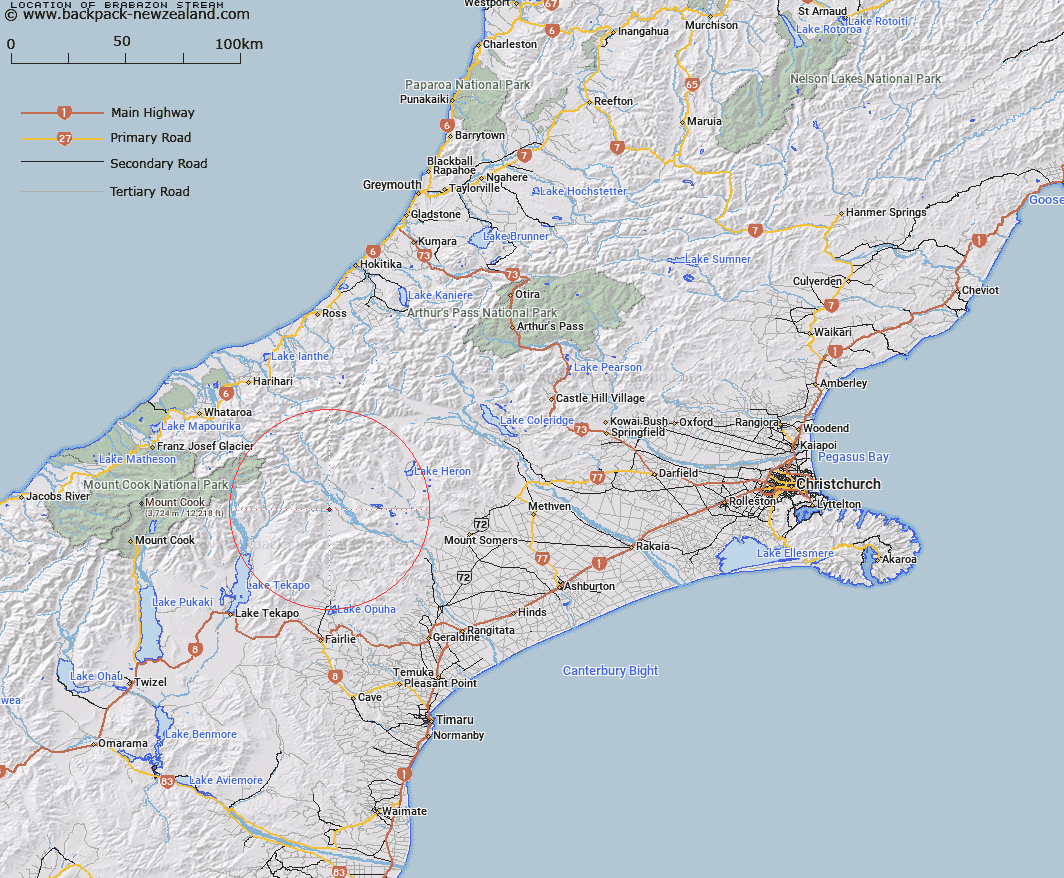
Map showing location of Brabazon Stream
LINZ description: Right bank tributary of Rangitata River rising in the eastern end of the Brabazon Range 2km East South-east of Mount Brabazon Trig. E (Geodetic Code B76X), flowing generally Eastward across Brabazon Downs and Joining Rangitata River South of Black Birch Creek. Blocks X and XI Sinclair Survey District.
Latitude: -43.61615
Longitude: 170.862456
Northing: 5168539.2
Easting: 1427521.3
Land District: Canterbury
Feat Type: Stream
Latitude: -43.61615
Longitude: 170.862456
Northing: 5168539.2
Easting: 1427521.3
Land District: Canterbury
Feat Type: Stream

Scroll down to see a more detailed road map and below that a topographical map showing the location of Brabazon Stream. The road map has been supplied by openstreetmap and the topographical map of Brabazon Stream has been supplied by Land Information New Zealand (LINZ).
Yes you can use the top static map for you school/university project or personal website with a link back. Contact me for any commercial use.
[ A ] [ B ] [ C ] [ D ] [ E ] [ F ] [ G ] [ H ] [ I ] [ J ] [ K ] [ L ] [ M ] [ N ] [ O ] [ P ] [ Q ] [ R ] [ S ] [ T ] [ U ] [ V ] [ W ] [ X ] [ Y ] [ Z ]