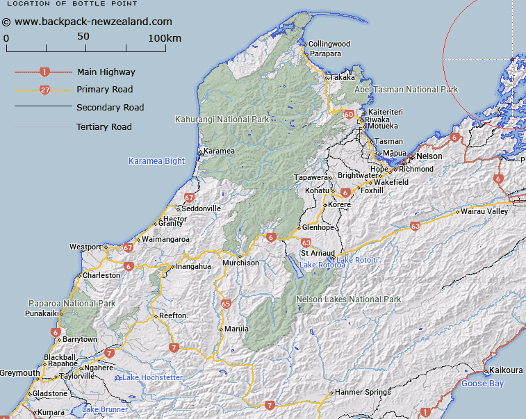
Map showing location of Bottle Point
LINZ description: A rugged point of land semi-circling Otu, the island off Bottle Point, which was once joined to the point with a narrow natural rock bridge which collapsed about 1916-18. Feature shown on: NZMS260 O26 P25 Pt P26; NZTopo50-BN28 702882
Latitude: -40.753861
Longitude: 173.832083
Northing: 5488233.1
Easting: 1670239.5
Land District: Nelson
Feat Type: Point
Latitude: -40.753861
Longitude: 173.832083
Northing: 5488233.1
Easting: 1670239.5
Land District: Nelson
Feat Type: Point

Scroll down to see a more detailed road map and below that a topographical map showing the location of Bottle Point. The road map has been supplied by openstreetmap and the topographical map of Bottle Point has been supplied by Land Information New Zealand (LINZ).
Yes you can use the top static map for you school/university project or personal website with a link back. Contact me for any commercial use.
[ A ] [ B ] [ C ] [ D ] [ E ] [ F ] [ G ] [ H ] [ I ] [ J ] [ K ] [ L ] [ M ] [ N ] [ O ] [ P ] [ Q ] [ R ] [ S ] [ T ] [ U ] [ V ] [ W ] [ X ] [ Y ] [ Z ]