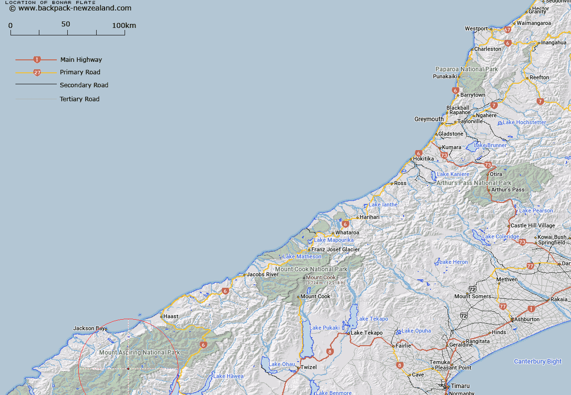
Map showing location of Bonar Flats


LINZ description: A river flat in the Waiatoto Valley
Latitude: -44.264642
Longitude: 168.78796
Northing: 5090100
Easting: 1263800
Land District: Westland
Feat Type: Flat


Scroll down to see a more detailed road map and below that a topographical map showing the location of Bonar Flats. The road map has been supplied by openstreetmap and the topographical map of Bonar Flats has been supplied by Land Information New Zealand (LINZ).

Yes you can use the top static map for you school/university project or personal website with a link back. Contact me for any commercial use.

Bonar Flats Map New Zealand


New Zealand places in our database
[ A ] [ B ] [ C ] [ D ] [ E ] [ F ] [ G ] [ H ] [ I ] [ J ] [ K ] [ L ] [ M ] [ N ] [ O ] [ P ] [ Q ] [ R ] [ S ] [ T ] [ U ] [ V ] [ W ] [ X ] [ Y ] [ Z ]


Closest 20 Flats to Bonar Flats

Waterfall Flat ( 6.51km )   Drake Flats ( 8.77km )   Lumber Flat ( 11.15km )   Ruth Flat ( 12.04km )   Jubilee Flat ( 12.17km )   Jumboland Flat ( 12.51km )   Ferny Flat ( 13.62km )   Callery Flat ( 14.87km )   Wonderland Flat ( 15.01km )   Axius Flats ( 15.93km )   Aspiring Flats ( 16km )   Grassy Flat ( 16.24km )   Junction Flat ( 16.74km )   Quail Flat ( 19.51km )   Jackson Flat ( 20.7km )   Caseys Flats ( 21.42km )   Pearl Flat ( 21.47km )   Quail Flat ( 21.49km )   Alpine Flat ( 21.51km )   Kerin Forks Flat ( 22.11km )   Blueberry Flat ( 22.45km )   Lindsay Flat ( 22.61km )   Shovel Flat ( 22.79km )   Teapot Flat ( 22.8km )   Island Flat ( 23.18km )   Dans Flat ( 24.4km )   Camerons Flat ( 24.44km )   Cameron Flat ( 24.44km )   Long Beach ( 27.04km )   McArthur Flat ( 27.93km )   Caseys Farm ( 28.25km )   Williamson Flat ( 28.37km )   Andy Flat ( 33.26km )   Teer Plateau ( 33.67km )   Ram Flat ( 34.2km )   Cascade Plateau ( 35.29km )   Junction Flat ( 35.37km )   Whakanui Flat ( 35.57km )   Carmichael Plateau ( 35.64km )   Millionaire Flat ( 36.18km )