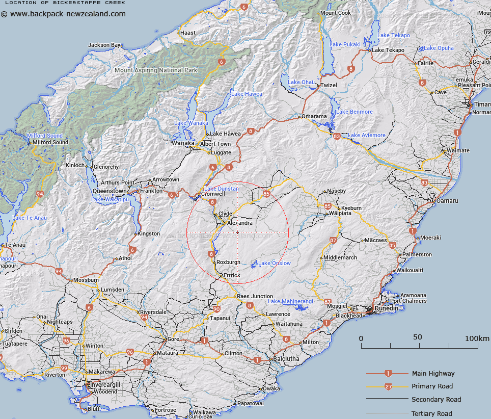
Map showing location of Bickerstaffe Creek


LINZ description: Creek south east of Alexandra, flowing from Castle Rock to meet Speargrass Creek at Little Valley.
Latitude: -45.321439
Longitude: 169.488693
Northing: 4975341.1
Easting: 1324808.8
Land District: Otago
Feat Type: Stream


Scroll down to see a more detailed road map and below that a topographical map showing the location of Bickerstaffe Creek. The road map has been supplied by openstreetmap and the topographical map of Bickerstaffe Creek has been supplied by Land Information New Zealand (LINZ).

Yes you can use the top static map for you school/university project or personal website with a link back. Contact me for any commercial use.

Bickerstaffe Creek Map New Zealand


New Zealand places in our database
[ A ] [ B ] [ C ] [ D ] [ E ] [ F ] [ G ] [ H ] [ I ] [ J ] [ K ] [ L ] [ M ] [ N ] [ O ] [ P ] [ Q ] [ R ] [ S ] [ T ] [ U ] [ V ] [ W ] [ X ] [ Y ] [ Z ]


Closest 20 Streams to Bickerstaffe Creek

Speargrass Creek ( 4.69km )   Little Valley Creek ( 5.35km )   Mount Campbell Creek ( 5.97km )   Little Valley Creek (West Branch) ( 6.92km )   Hopes Creek ( 7.84km )   Shanty Creek ( 8.73km )   Manor Burn ( 9.38km )   Bonanza Water Race ( 9.59km )   Halfmile Creek ( 10.36km )   Dip Creek ( 13.23km )   Moa Creek ( 13.39km )   Butchers Creek ( 13.76km )   Waterfall Creek ( 14.89km )   Fourteen Mile Creek ( 15.18km )   Ainsley Creek ( 15.52km )   Conroys Creek ( 15.54km )   Aldinga Creek ( 16.4km )   Obelisk Creek ( 16.85km )   Springvale Creek ( 16.9km )   Omeo Creek ( 17.7km )   Waipuna Creek ( 18.01km )   Long Valley Creek ( 18.07km )   Coal Creek ( 18.49km )   Kirk Creek ( 18.56km )   Coal Creek ( 18.61km )   Old Hut Creek ( 18.8km )   Last Chance Co. Water Race ( 18.82km )   Cave Creek ( 19.01km )   Hut Creek ( 19.16km )   Gorge Creek ( 19.19km )   Chasm Creek ( 19.71km )   Deep Creek ( 19.76km )   Brassknocker Creek ( 20km )   Shingle Creek ( 20.07km )   North Branch Teviot River ( 20.6km )   Doctor Hydes Water Race ( 20.99km )   Elbow Creek ( 21.05km )   Pinelheugh Creek ( 21.14km )   Waikerikeri Creek ( 21.19km )   Pool Burn ( 21.24km )