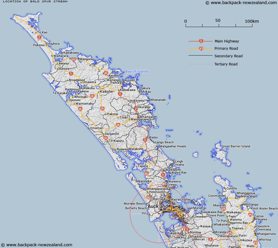
Map showing location of Bald Spur Stream


LINZ description: Small stream flowing into north west end of Lower Nihotupu Reservoir.
Latitude: -36.951802
Longitude: 174.601398
Northing: 5909276.3
Easting: 1742581.2
Land District: North Auckland
Feat Type: Stream


Scroll down to see a more detailed road map and below that a topographical map showing the location of Bald Spur Stream. The road map has been supplied by openstreetmap and the topographical map of Bald Spur Stream has been supplied by Land Information New Zealand (LINZ).

Yes you can use the top static map for you school/university project or personal website with a link back. Contact me for any commercial use.
Bald Spur Stream Map New Zealand


New Zealand places in our database
[ A ] [ B ] [ C ] [ D ] [ E ] [ F ] [ G ] [ H ] [ I ] [ J ] [ K ] [ L ] [ M ] [ N ] [ O ] [ P ] [ Q ] [ R ] [ S ] [ T ] [ U ] [ V ] [ W ] [ X ] [ Y ] [ Z ]


Closest 20 Streams to Bald Spur Stream

Long Brook ( 0.62km )   Rata Paddock Stream ( 0.62km )   Boyd Stream ( 0.84km )   Island Stream ( 0.96km )   Wood Stream ( 1.25km )   Campbell Stream ( 1.51km )   Old Whare Stream ( 1.56km )   Davis Stream ( 1.63km )   Bendall Creek ( 1.78km )   Oratia Stream ( 1.96km )   Williams Stream ( 2.07km )   William Stream ( 2.07km )   Big Muddy Creek ( 2.29km )   Shelly Lynn ( 2.3km )   Finn Creek ( 2.31km )   Lawrence Stream ( 2.42km )   Cantys Stream ( 2.72km )   Cochrane Stream ( 2.77km )   Cochran Stream ( 2.77km )   Woodlands Stream ( 2.77km )   Quinns Creek ( 2.8km )   Foley Stream ( 2.82km )   Armour Stream ( 2.93km )   Potter Stream ( 3.04km )   Bendalls Creek ( 3.04km )   Waituna Stream ( 3.09km )   Trestles Stream ( 3.22km )   Panto Stream ( 3.3km )   Waiohua Creek ( 3.41km )   Tautari Stream ( 3.51km )   Tihihana Stream ( 3.62km )   Bokel Creek ( 3.62km )   Grundy Stream ( 3.7km )   Smiths Stream ( 3.83km )   Hemsley Creek ( 3.85km )   Little Muddy Creek ( 3.9km )   Mitchell Stream ( 3.91km )   Sharp Stream ( 3.92km )   Sharpe Stream ( 3.92km )   Heale Stream ( 4.03km )