Map showing location of Awaroa/Godley Head


LINZ description: Headland on the northern shoreline and at the entrance to Lyttelton Harbour/Whakaraupō. Updating to current dual naming format.
Latitude: -43.587301
Longitude: 172.808512
Northing: 5173945.2
Easting: 1584541.6
Land District: Canterbury
Feat Type: Point


Scroll down to see a more detailed road map and below that a topographical map showing the location of Awaroa/Godley Head. The road map has been supplied by openstreetmap and the topographical map of Awaroa/Godley Head has been supplied by Land Information New Zealand (LINZ).

Yes you can use the top static map for you school/university project or personal website with a link back. Contact me for any commercial use.
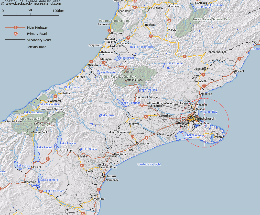
Awaroa/Godley Head Map New Zealand


New Zealand places in our database
[ A ] [ B ] [ C ] [ D ] [ E ] [ F ] [ G ] [ H ] [ I ] [ J ] [ K ] [ L ] [ M ] [ N ] [ O ] [ P ] [ Q ] [ R ] [ S ] [ T ] [ U ] [ V ] [ W ] [ X ] [ Y ] [ Z ]


Closest 20 Points to Awaroa/Godley Head

Black Rock ( 1.98km )   Black Rock Point ( 1.98km )   Adderley Head ( 2.36km )   Moki Point ( 2.57km )   Giants Nose ( 2.59km )   Whitewash Head ( 2.93km )   Sumner Head ( 3.21km )   Baleine Point ( 4.02km )   Battery Point ( 5.71km )   Pukeiti Point ( 5.8km )   Sticking Point ( 6.51km )   Stoddart Point ( 7.02km )   Pauaohinekotau Head ( 8.34km )   Erskine Point ( 8.83km )   Tapoa Point ( 8.83km )   Tapoa/Erskine Point ( 8.83km )   Pigeon Point ( 9.2km )   Wakaroa Point ( 10.81km )   Moepuku Point ( 11.35km )   Teopopaka Point ( 11.82km )   Otohuao Head ( 14.59km )   Long Lookout Point ( 20.53km )   West Head ( 23.4km )   Spyglass Point ( 23.55km )   Hammond Point ( 23.71km )   East Head ( 24.85km )   Opukutahi ( 26.25km )   Otutereinga ( 26.48km )   Green Point ( 27.78km )   Cape Three Points ( 28.21km )   Katawa Head ( 29.5km )   Te Ahiteraiti ( 29.99km )   Steep Head ( 30.38km )   East Head ( 32.54km )   Pout?koro Head ( 33.25km )   Putakolo Head ( 33.25km )   Snuffle Nose ( 33.51km )   North Head ( 33.91km )   South Head ( 34.95km )   Clay Point ( 35.75km )