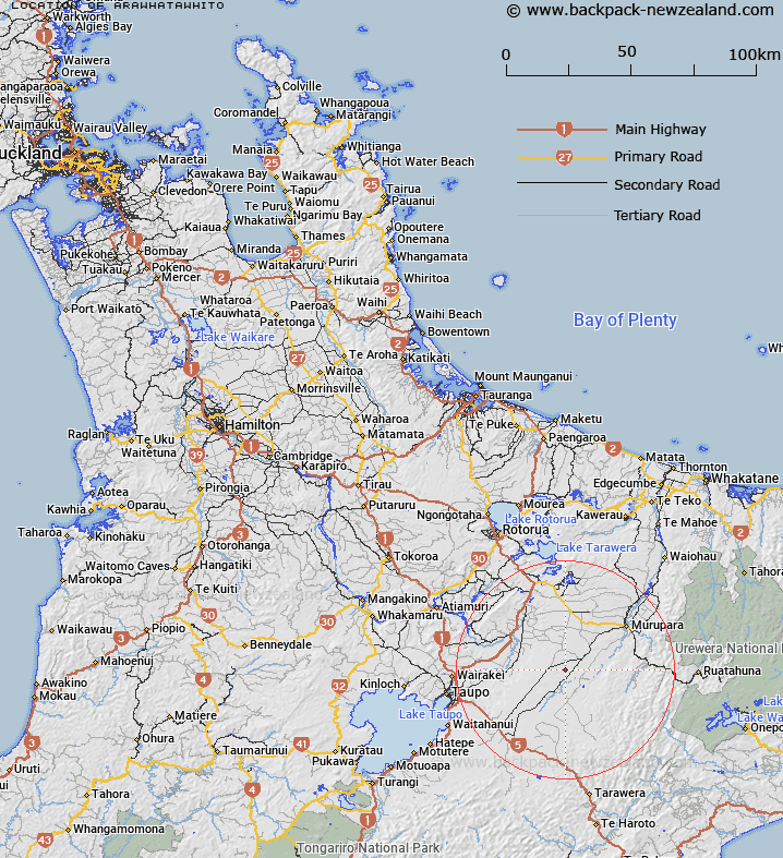
Map showing location of Arawhatawhito


LINZ description: A locality name corrected from Arawhatataiawhito by Sir Apirana Ngata
Latitude: -38.603927
Longitude: 176.488567
Northing: 5721400
Easting: 1903800
Land District: South Auckland
Feat Type: Locality


Scroll down to see a more detailed road map and below that a topographical map showing the location of Arawhatawhito. The road map has been supplied by openstreetmap and the topographical map of Arawhatawhito has been supplied by Land Information New Zealand (LINZ).

Yes you can use the top static map for you school/university project or personal website with a link back. Contact me for any commercial use.

Arawhatawhito Map New Zealand


New Zealand places in our database
[ A ] [ B ] [ C ] [ D ] [ E ] [ F ] [ G ] [ H ] [ I ] [ J ] [ K ] [ L ] [ M ] [ N ] [ O ] [ P ] [ Q ] [ R ] [ S ] [ T ] [ U ] [ V ] [ W ] [ X ] [ Y ] [ Z ]


Closest 20 Localitys to Arawhatawhito

Te Awakautuku ( 9.14km )   Te Awakautoku ( 9.14km )   Wairapukao ( 10.87km )   Matea ( 14.73km )   Koupuatoto ( 16.05km )   Kopuatoto ( 16.05km )   Broadlands ( 17km )   Ohaaki ( 18.9km )   Ohaki ( 18.9km )   Mangaminge ( 19.96km )   Mangamingi ( 19.96km )   Waimahana ( 21.4km )   Golden Springs ( 21.85km )   Kaingaroa Forest ( 22.49km )   Mihi ( 22.55km )   Reporoa ( 23.05km )   Tahorakuri ( 23.23km )   Rotokawa ( 24.08km )   Kiorenui Village ( 24.16km )   Parekarangi ( 24.91km )   Te Whaiti ( 25.57km )   Wharepaina ( 26.82km )   Aratiatia ( 29.01km )   Waimihia ( 30.02km )   Ngaputahi ( 30.56km )   Galatea ( 30.79km )   Iwitahi ( 31.3km )   Waiotapu ( 31.54km )   Rerewhakaaitu ( 31.72km )   Rangitaiki ( 31.96km )   Waiotapu Village ( 32.95km )   Orakei Korako ( 33.34km )   Wairakei Village ( 33.52km )   Rotomahana ( 33.72km )   Papueru ( 34.19km )   Wairakei ( 34.79km )   Waikite Valley ( 35.19km )   Horomanga ( 35.29km )   Heipipi ( 35.57km )   Waimangu ( 36.57km )