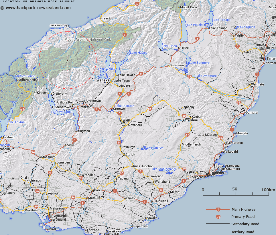
Map showing location of Arawata Rock Bivouac
LINZ description: Rock feature in the headwaters of the Arawhata River, north west of the Arawhata Saddle.
Latitude: -44.413516
Longitude: 168.608042
Northing: 5072808.7
Easting: 1250326.2
Land District: Otago
Feat Type: Recreation
Latitude: -44.413516
Longitude: 168.608042
Northing: 5072808.7
Easting: 1250326.2
Land District: Otago
Feat Type: Recreation

Scroll down to see a more detailed road map and below that a topographical map showing the location of Arawata Rock Bivouac. The road map has been supplied by openstreetmap and the topographical map of Arawata Rock Bivouac has been supplied by Land Information New Zealand (LINZ).
Yes you can use the top static map for you school/university project or personal website with a link back. Contact me for any commercial use.
[ A ] [ B ] [ C ] [ D ] [ E ] [ F ] [ G ] [ H ] [ I ] [ J ] [ K ] [ L ] [ M ] [ N ] [ O ] [ P ] [ Q ] [ R ] [ S ] [ T ] [ U ] [ V ] [ W ] [ X ] [ Y ] [ Z ]