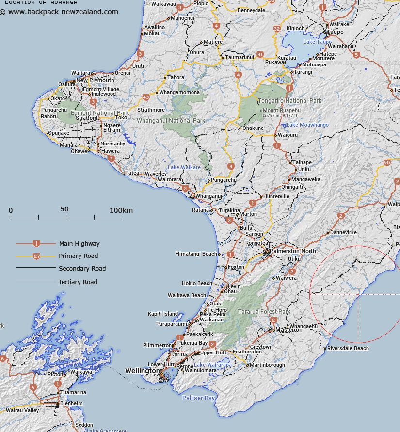
Map showing location of Aohanga
LINZ description: A small Locality located near the mouth of Owahanga River.
NZTopo50-BN37 817913.
Latitude: -40.680186
Longitude: 176.333177
Northing: 5491400
Easting: 1881700
Land District: Wellington
Feat Type: Locality
Latitude: -40.680186
Longitude: 176.333177
Northing: 5491400
Easting: 1881700
Land District: Wellington
Feat Type: Locality

Scroll down to see a more detailed road map and below that a topographical map showing the location of Aohanga. The road map has been supplied by openstreetmap and the topographical map of Aohanga has been supplied by Land Information New Zealand (LINZ).
Yes you can use the top static map for you school/university project or personal website with a link back. Contact me for any commercial use.
[ A ] [ B ] [ C ] [ D ] [ E ] [ F ] [ G ] [ H ] [ I ] [ J ] [ K ] [ L ] [ M ] [ N ] [ O ] [ P ] [ Q ] [ R ] [ S ] [ T ] [ U ] [ V ] [ W ] [ X ] [ Y ] [ Z ]