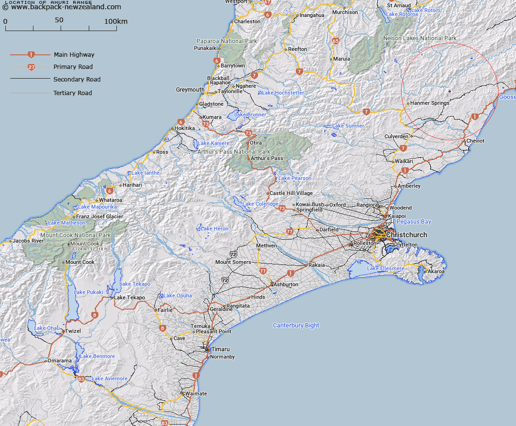
Map showing location of Amuri Range
LINZ description: Mountain range commencing at Palmer Saddle at the southern end of the Seaward Kaikoura Range in Marlborough Land District and extending southwards through Cloudy Range Peak [Trig. A (Geodetic Code A73U)], Mount Tinline [Trig. I (Geodetic Code ANTB)], Mount Paul [Trig. Z (Geodetic Code A8C0)], and Mount Leslie [Trig. ML (Geodetic Code A8CP)] to Mizzen Peak [Trig. J (Geodetic Code A8CK)]. Blocks IV, VI, VII, VIII, and X Lyndon, Block I Waiau, Blocks X, XI, XIII, and XIV Terako, and Blocks XVI, XX, XXI and XXII Acheron Survey Districts.
Latitude: -42.431603
Longitude: 173.159163
Northing: 5302289.3
Easting: 1613092
Land District: Canterbury, Marlborough
Feat Type: Range
Latitude: -42.431603
Longitude: 173.159163
Northing: 5302289.3
Easting: 1613092
Land District: Canterbury, Marlborough
Feat Type: Range

Scroll down to see a more detailed road map and below that a topographical map showing the location of Amuri Range. The road map has been supplied by openstreetmap and the topographical map of Amuri Range has been supplied by Land Information New Zealand (LINZ).
Yes you can use the top static map for you school/university project or personal website with a link back. Contact me for any commercial use.
[ A ] [ B ] [ C ] [ D ] [ E ] [ F ] [ G ] [ H ] [ I ] [ J ] [ K ] [ L ] [ M ] [ N ] [ O ] [ P ] [ Q ] [ R ] [ S ] [ T ] [ U ] [ V ] [ W ] [ X ] [ Y ] [ Z ]