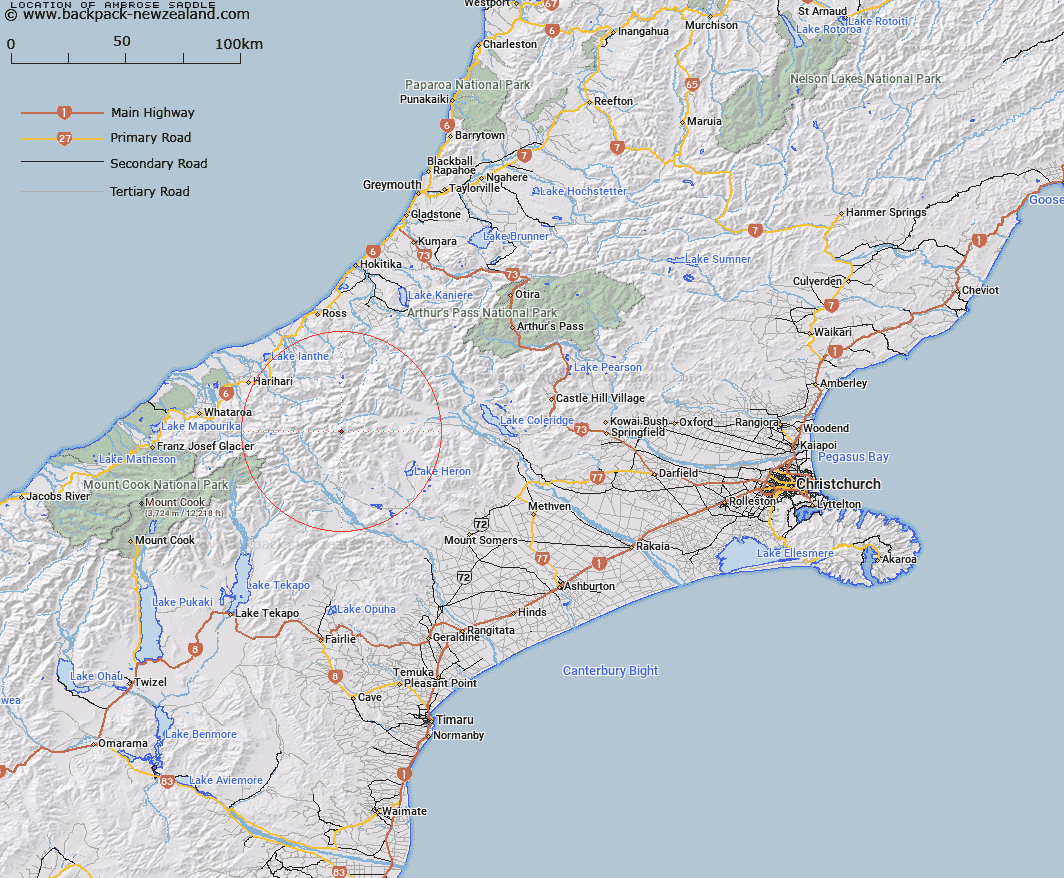
Map showing location of Ambrose Saddle


LINZ description: Saddle in the Jollie Range in the headwaters of the Lawerence and Rakaia Rivers, just south of Jollie Sisters, Southern Alps/Kā Tiritiri o te Moana.
Latitude: -43.32843
Longitude: 170.907653
Northing: 5200586.7
Easting: 1430365.1
Land District: Canterbury
Feat Type: Pass


Scroll down to see a more detailed road map and below that a topographical map showing the location of Ambrose Saddle. The road map has been supplied by openstreetmap and the topographical map of Ambrose Saddle has been supplied by Land Information New Zealand (LINZ).

Yes you can use the top static map for you school/university project or personal website with a link back. Contact me for any commercial use.

Ambrose Saddle Map New Zealand


New Zealand places in our database
[ A ] [ B ] [ C ] [ D ] [ E ] [ F ] [ G ] [ H ] [ I ] [ J ] [ K ] [ L ] [ M ] [ N ] [ O ] [ P ] [ Q ] [ R ] [ S ] [ T ] [ U ] [ V ] [ W ] [ X ] [ Y ] [ Z ]


Closest 20 Passs to Ambrose Saddle

Chowbok Col ( 3.26km )   Bandolero Col ( 4.08km )   Musterers Col ( 4.45km )   Gladiator Col ( 4.74km )   Crossbow Saddle ( 5.3km )   Toledo Col ( 5.44km )   Battleaxe Col ( 5.75km )   Cameron Col ( 6.53km )   Lawrence Col ( 7.54km )   McCoy Col ( 7.9km )   Reischek Col ( 8.24km )   Rangitata Col ( 8.81km )   Jagged Col ( 8.82km )   Strachan Pass ( 9.09km )   Malcolm Col ( 9.17km )   Groove Col ( 9.37km )   Lambert Col ( 10.09km )   Peg Col ( 10.15km )   Gadarene Col ( 10.17km )   Menace Gap ( 10.22km )   Boulder Col ( 10.81km )   Camp Saddle ( 12.17km )   Whitcombe Pass ( 12.91km )   Erewhon Col ( 14.07km )   Full Moon Saddle ( 14.6km )   Satan Saddle ( 14.64km )   Fan Col ( 15.35km )   Veil Col ( 15.59km )   Lucknow Saddle ( 15.6km )   Perth Col ( 15.6km )   Red Lion Col ( 15.61km )   Disappointment Saddle ( 16.67km )   McKenzie Col ( 17.07km )   Adams Col ( 17.72km )   Havelock Col ( 17.72km )   Orb Col ( 17.82km )   Angel Col ( 19.41km )   Poachers Pass ( 19.83km )   Seddon Col ( 20.12km )   Iceland Col ( 21.71km )