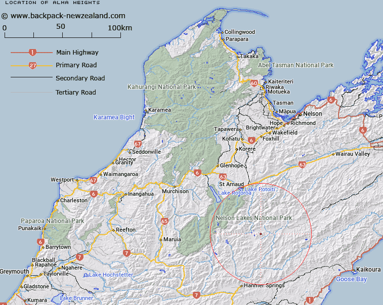
Map showing location of Alma Heights
LINZ description: For peaks of similar height within 800m South and East of and including Alma Peak [Trig. D (Geodetic Code A6HG)], approximately 4.5km North North-east of the Cat Creek/ Alma River junction. Block XI Wairau Survey District.
Latitude: -42.144903
Longitude: 172.976074
Northing: 5334134.9
Easting: 1598023
Land District: Nelson
Feat Type: Hill
Latitude: -42.144903
Longitude: 172.976074
Northing: 5334134.9
Easting: 1598023
Land District: Nelson
Feat Type: Hill

Scroll down to see a more detailed road map and below that a topographical map showing the location of Alma Heights. The road map has been supplied by openstreetmap and the topographical map of Alma Heights has been supplied by Land Information New Zealand (LINZ).
Yes you can use the top static map for you school/university project or personal website with a link back. Contact me for any commercial use.
[ A ] [ B ] [ C ] [ D ] [ E ] [ F ] [ G ] [ H ] [ I ] [ J ] [ K ] [ L ] [ M ] [ N ] [ O ] [ P ] [ Q ] [ R ] [ S ] [ T ] [ U ] [ V ] [ W ] [ X ] [ Y ] [ Z ]