Map showing location of Akaterere
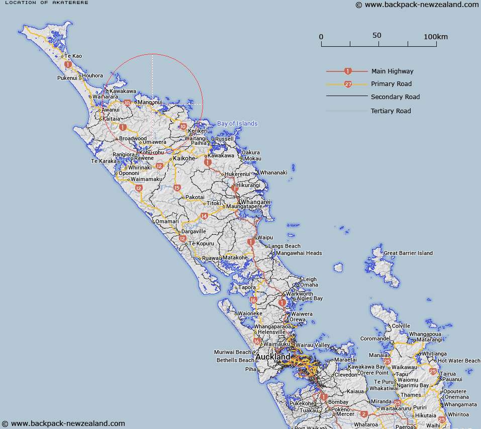
LINZ description: A hill at height 377m, located approximately 38km northeast of Kaitaia. Geodetic mark 1387 is located at the summit. Feature shown on: NZMS260 P04 Q04 Edition 1 1984; NZTopo50-AU28 606262.
Latitude: -35.005181
Longitude: 173.663995
Northing: 6126181
Easting: 1660587.3
Land District: North Auckland
Feat Type: Hill
Latitude: -35.005181
Longitude: 173.663995
Northing: 6126181
Easting: 1660587.3
Land District: North Auckland
Feat Type: Hill

Scroll down to see a more detailed road map and below that a topographical map showing the location of Akaterere. The road map has been supplied by openstreetmap and the topographical map of Akaterere has been supplied by Land Information New Zealand (LINZ).
Yes you can use the top static map for you school/university project or personal website with a link back. Contact me for any commercial use.
[ A ] [ B ] [ C ] [ D ] [ E ] [ F ] [ G ] [ H ] [ I ] [ J ] [ K ] [ L ] [ M ] [ N ] [ O ] [ P ] [ Q ] [ R ] [ S ] [ T ] [ U ] [ V ] [ W ] [ X ] [ Y ] [ Z ]