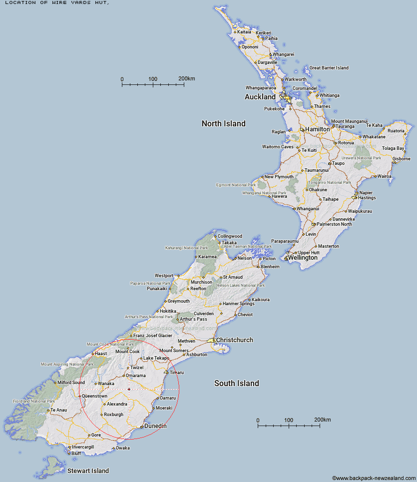
Topo Map showing location of Wire Yards Hut
This information is sourced from DoC, LINZ and Openstreetmap. Some of the hut photos are mine and the rest are from DoC. I will be adding an upload feature soon so people can photos of .Wire Yards Hut.
Latitude: -44.8495324949
Longitude: 170.116910018
Location:
Type of Hut:
Map: Topo Map | Road Map
Does this hut still exist? Have any more information? Contact
Latitude: -44.8495324949
Longitude: 170.116910018
Location:
Type of Hut:
Map: Topo Map | Road Map
Does this hut still exist? Have any more information? Contact
Scroll down to see a topographical map and road map showing the location of Wire Yards Hut
[ A ] [ B ] [ C ] [ D ] [ E ] [ F ] [ G ] [ H ] [ I ] [ J ] [ K ] [ L ] [ M ] [ N ] [ O ] [ P ] [ Q ] [ R ] [ S ] [ T ] [ U ] [ V ] [ W ] [ Y ] [ Z ]
Closest 20 Huts to Wire Yards Hut
These are as the crow fliesIda Railway Hut 3.23km Chimney Creek Hut 6.84km Tailings Hut 9.84km Brown Hut 12.44km Hut Creek Hut 12.95km Buster Hut 14.08km Awakino Ski Field 17.1km Otamatapaio Hut 22.05km Boundary Creek Hut 24.66km Top Hut 31.19km Richmond Hut 35.5km Lauder Basin Hut 36.03km Pearson Hut 36.89km Crumb Hut 37.97km Balmoral Huts 38.34km Middle Hut 41.32km Polson's Hut 43.98km Half Moon Hut 44.3km Mitchells Hut 48.09km Grays Hut 48.87km Cayenne Hut 51.01km Mount Hut 51.42km Gentle Annie Hut 52.66km Bog Hut 57.22km Burnt Bush Hut 59.35km Red Hut 61.97km Leaning Lodge 63.4km Stodys Hut 63.66km Top Timaru Hut 64.4km Big Hut 65.27km Hideaway Hut 65.79km Staircase Hut 66.27km Pakituhi Hut 67.05km Mae West Bivouac 67.69km Moonlight & Roses Hut 69.11km Junction Hut 69.33km Snowy Gorge Hut 71.22km Bush Hut 71.33km Cotters Hut 72.03km Robrosa Hut 73.16km