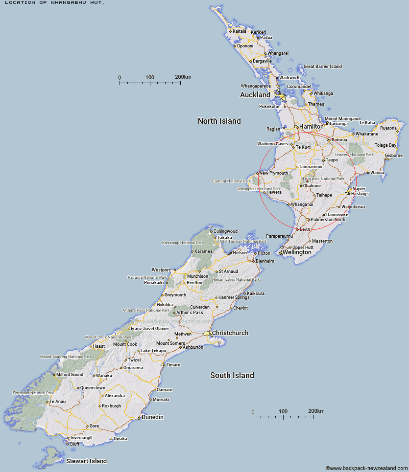
Topo Map showing location of Whangaehu Hut
This information is sourced from DoC, LINZ and Openstreetmap. Some of the hut photos are mine and the rest are from DoC. I will be adding an upload feature soon so people can photos of .Whangaehu Hut.
Latitude: -39.2825000727
Longitude: 175.588623148
Location:
Type of Hut:
Map: Topo Map | Road Map
Does this hut still exist? Have any more information? Contact
Latitude: -39.2825000727
Longitude: 175.588623148
Location:
Type of Hut:
Map: Topo Map | Road Map
Does this hut still exist? Have any more information? Contact
Scroll down to see a topographical map and road map showing the location of Whangaehu Hut
[ A ] [ B ] [ C ] [ D ] [ E ] [ F ] [ G ] [ H ] [ I ] [ J ] [ K ] [ L ] [ M ] [ N ] [ O ] [ P ] [ Q ] [ R ] [ S ] [ T ] [ U ] [ V ] [ W ] [ Y ] [ Z ]
Closest 20 Huts to Whangaehu Hut
These are as the crow fliesRangipo Hut 3.61km Mangaehuehu Hut 7.51km Mangaturuturu Hut 7.64km Blyth Hut 7.74km Whakapapaiti Hut 7.89km Lupton Hut 8km Old Waihohonu Hut 10.89km Waihohonu Hut 11.3km Mangatepopo Hut 15.34km Oturere Hut 16.27km Ketetahi Shelter 20.18km Westlawn Hut 29.79km Zekes Hut 31.77km Ten Man Hut 31.96km Bob's Hut 35.14km Waipakihi Hut 36.41km Te Apunga Hut 42.75km Golden Hills Hut 49.4km WTFRW Hut 49.6km Tieke Kainga 51.6km Cascade Hut 51.64km Puketotara Hut 53.18km Ohuraiti Hut 53.75km Otutu Island Hut 53.84km Cedars Hut (Blowfly) 55.32km Otutu Hut 55.47km Tussock Hut 55.53km Rock Camp Bivouac 55.88km Harkness Hut 56.86km Ngaawapurua Hut 57.11km Manson Hut 57.79km Old Manson Hut 58.05km John Coull Hut 58.38km Ngapurua Hut 59.33km Hauhungaroa Hut 59.59km Kiwi Mouth Hut 59.64km Te Puke (Te Pukeohikarua) Hut 60.07km Makirikiri Hut 60.18km Manson Bivouac 60.26km Omarukokere Bivouac 60.65km