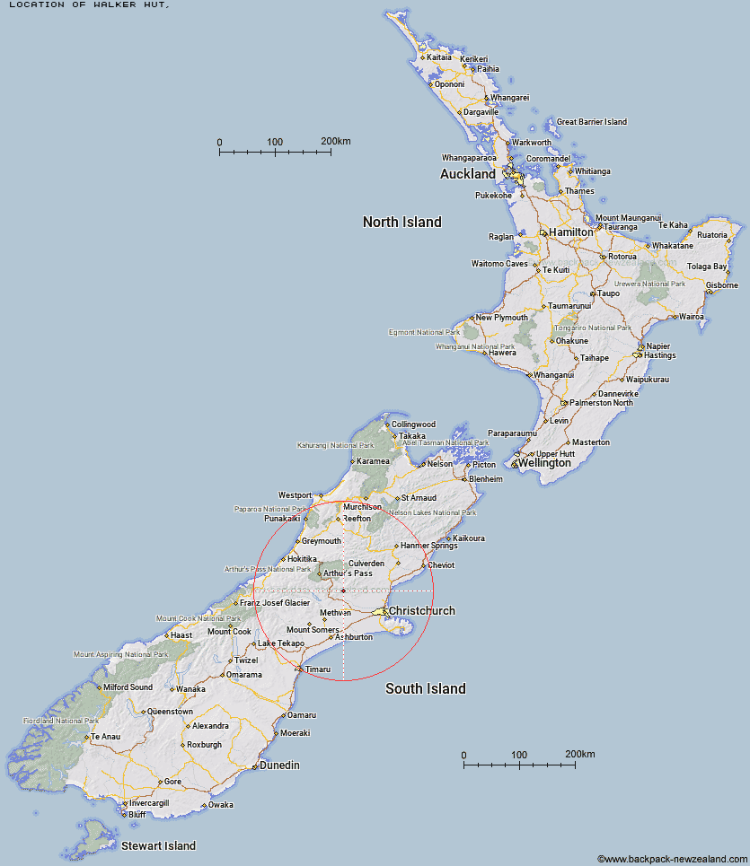
Topo Map showing location of Walker Hut
This information is sourced from DoC, LINZ and Openstreetmap. Some of the hut photos are mine and the rest are from DoC. I will be adding an upload feature soon so people can photos of .Walker Hut.
Latitude: -43.1941097555
Longitude: 171.951591481
Location:
Type of Hut:
Map: Topo Map | Road Map
Does this hut still exist? Have any more information? Contact
Latitude: -43.1941097555
Longitude: 171.951591481
Location:
Type of Hut:
Map: Topo Map | Road Map
Does this hut still exist? Have any more information? Contact
Scroll down to see a topographical map and road map showing the location of Walker Hut
[ A ] [ B ] [ C ] [ D ] [ E ] [ F ] [ G ] [ H ] [ I ] [ J ] [ K ] [ L ] [ M ] [ N ] [ O ] [ P ] [ Q ] [ R ] [ S ] [ T ] [ U ] [ V ] [ W ] [ Y ] [ Z ]
Closest 20 Huts to Walker Hut
These are as the crow fliesPetticoat Junction Hut 3.32km Kinnebrooks Hut 3.71km Lower Salmon Creek Bivouac 4.3km Black Hill Hut 4.72km Rosa Hut 5.06km Wharfedale Hut 7.22km Hamilton Hut 8.5km Puketeraki Bivouac 9.29km Broken River Hut 9.37km Adams Hut 15.97km Lilburne Hut 20.56km Tarn Hut 23.57km Cass Saddle Hut 23.66km Benmore Hut 25.05km Andrews Shelter 25.71km Riversdale Hut 25.72km Youngman Stream Hut 26.55km Turnbull Bivouac 26.7km Hamilton Hut 27.07km Bob's Camp Bivouac 28.17km Hawdon Shelter 28.33km Lochinvar Hut 29.23km West Harper Hut 29.86km Bealey Hut 30.58km Anna Hut 31.27km Pinchgut Hut 32.11km Lagoon Saddle A Frame Hut 32.33km Lagoon Saddle Hut 32.39km Bull Creek Hut 33.5km Sudden Valley Bivouac 33.78km Ant Stream Hut 34.88km Cattle Creek Hut 34.88km East Hawdon Bivouac 35.68km Bealey Spur Hut 35.79km Hawdon Hut 36.14km Klondyke Shelter 36.34km Anderson's Hut 36.55km Edwards Hut 37.35km Greyneys Shelter 37.49km Ranger Bivouac 37.9km