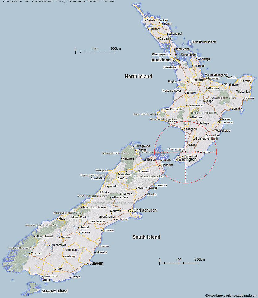
Topo Map showing location of Waiotauru Hut
This information is sourced from DoC, LINZ and Openstreetmap. Some of the hut photos are mine and the rest are from DoC. I will be adding an upload feature soon so people can photos of .Waiotauru Hut.
Basic info: basic 18-bunk hut in the Kapiti region.
Latitude: -40.9390500094
Longitude: 175.185247224
Location: Tararua Forest Park
Area: Wellington/Kapiti
Type of Hut: Basic/bivvies
Map: BP33 Topo Map | Road Map
Does this hut still exist? Have any more information? Contact
Basic info: basic 18-bunk hut in the Kapiti region.
Latitude: -40.9390500094
Longitude: 175.185247224
Location: Tararua Forest Park
Area: Wellington/Kapiti
Type of Hut: Basic/bivvies
Map: BP33 Topo Map | Road Map
Does this hut still exist? Have any more information? Contact
Scroll down to see a topographical map and road map showing the location of Waiotauru Hut
[ A ] [ B ] [ C ] [ D ] [ E ] [ F ] [ G ] [ H ] [ I ] [ J ] [ K ] [ L ] [ M ] [ N ] [ O ] [ P ] [ Q ] [ R ] [ S ] [ T ] [ U ] [ V ] [ W ] [ Y ] [ Z ]
Closest 20 Huts to Waiotauru Hut
These are as the crow fliesRenata Hut 3.42km Kapakapanui Hut 3.51km Elder Hut 5.38km Field Hut 6.9km Kime Hut 7.28km Penn Creek Hut 9.47km Alpha Hut 9.64km Eastern Hutt Hut 10.65km Maungahuka Hut 12.84km Tutuwai Hut 14.15km Neill Forks Hut 14.36km Cone Hut 14.43km Smith Creek Shelter 14.98km Aokaparangi Hut 15.62km Waitewaewae Hut 15.74km Sayer Hut 17.57km Anderson Memorial Hut 17.66km Mid Waiohine Hut 18.02km Totara Flats Hut 18.32km Waiohine Shelter 18.89km Powell Hut 20.96km Mountain House Shelter 21.29km Nichols Hut 21.5km McGregor Bivouac 22.35km Jumbo Hut 23.38km Atiwhakatu Hut 23.93km Carkeek Hut 24.27km Dorset Ridge Hut 24.73km Waikawa Shelter 24.81km Mid King Bivouac 25.37km Dracophyllum Hut 25.49km Tarn Ridge Hut 26.76km Mitre Flats Hut 27.47km Waiopehu Hut 27.71km Te Matawai Hut 28.71km Arete Forks Hut 29.84km Arete Hut 29.95km South Ohau Hut 30.01km Cow Creek Hut 31.41km Blue Range Hut 32.38km