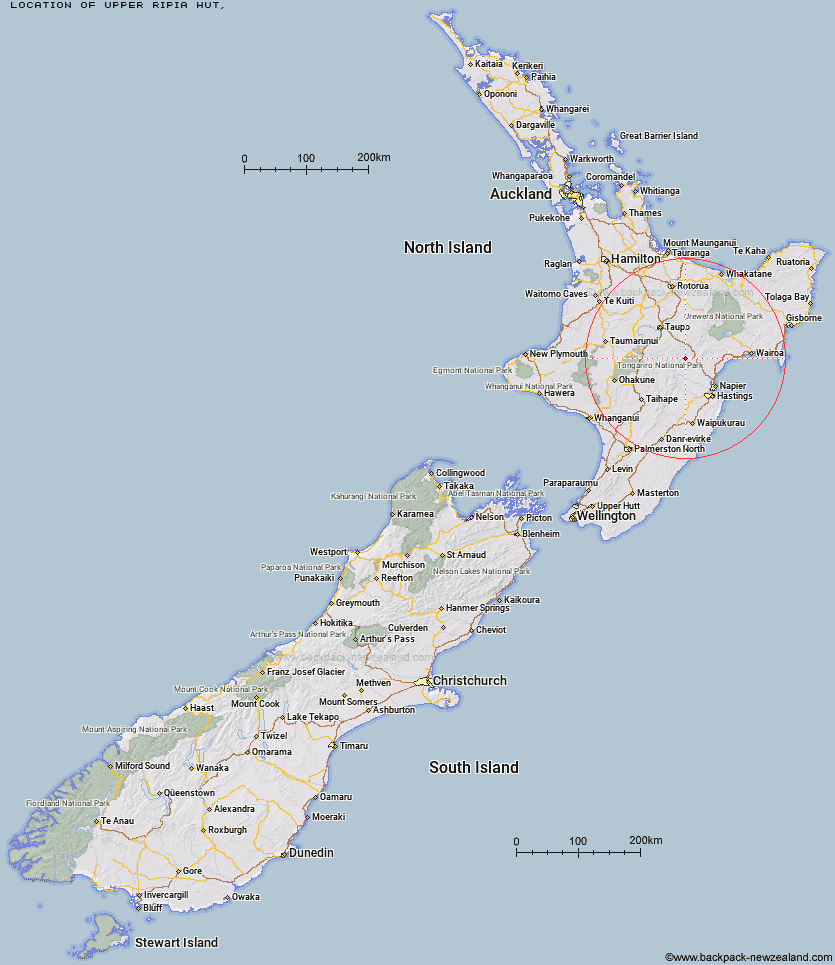
Topo Map showing location of Upper Ripia Hut
This information is sourced from DoC, LINZ and Openstreetmap. Some of the hut photos are mine and the rest are from DoC. I will be adding an upload feature soon so people can photos of .Upper Ripia Hut.
Latitude: -39.1115930068
Longitude: 176.444000671
Location:
Type of Hut:
Map: Topo Map | Road Map
Does this hut still exist? Have any more information? Contact
Latitude: -39.1115930068
Longitude: 176.444000671
Location:
Type of Hut:
Map: Topo Map | Road Map
Does this hut still exist? Have any more information? Contact
Scroll down to see a topographical map and road map showing the location of Upper Ripia Hut
[ A ] [ B ] [ C ] [ D ] [ E ] [ F ] [ G ] [ H ] [ I ] [ J ] [ K ] [ L ] [ M ] [ N ] [ O ] [ P ] [ Q ] [ R ] [ S ] [ T ] [ U ] [ V ] [ W ] [ Y ] [ Z ]
Closest 20 Huts to Upper Ripia Hut
These are as the crow fliesLower Ripia Hut 2.7km Te Matai Hut 2.78km Ernie's Creek Hut 2.85km Tevers Hut 3.5km Upper Toropapa Hut 5.41km Makino Hut 9.23km Lower Ohane Hut 12.08km Red Hut 12.93km Middle Hill Hut 12.95km East Creek Hut 13.35km Mangatainoka Hut 13.52km Poronui Hut 14.92km Ballard Hut 15.45km Mangaturutu Hut 15.49km Oamaru Hut 15.98km Iron Whare 16.13km Kaweka Flats Bivouac 16.91km Te Puke (Te Pukeohikarua) Hut 17.07km Venison Tops Hut (Tira Lodge) 18.39km Dominie Hut 19.27km Makahu Saddle Hut 19.74km Back Ridge Hut 19.86km Harkness Hut 19.97km Omarukokere Bivouac 20.22km Tussock Hut 20.62km Black Birch Bivouac 21.16km Ngaawapurua Hut 21.64km Back Ridge Bivouac 22.01km Studholme Saddle Hut 22.16km Rocks Ahead Hut 22.22km Rocks Ahead Bivouac 22.3km Studholme Saddle Bivouac 22.65km Lower Matakuhia Hut 23.84km Galbraith Hut 23.89km Halfway Hut 24.27km Mackintosh Hut 24.49km Manson Bivouac 24.6km Otutu Hut 25.6km Old Manson Hut 25.86km Manson Hut 25.94km