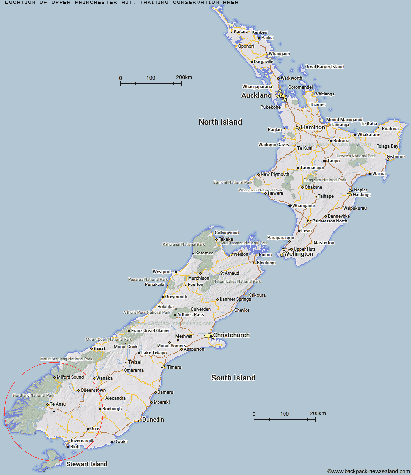
Topo Map showing location of Upper Princhester Hut
This information is sourced from DoC, LINZ and Openstreetmap. Some of the hut photos are mine and the rest are from DoC. I will be adding an upload feature soon so people can photos of .Upper Princhester Hut.
Basic info: basic two-bunk hut in the Southland area.
Latitude: -45.6222850311
Longitude: 167.913877302
Location: Takitimu Conservation Area
Area: Southland
Type of Hut: Basic/bivvies
Map: CE08 Topo Map | Road Map
Does this hut still exist? Have any more information? Contact
Basic info: basic two-bunk hut in the Southland area.
Latitude: -45.6222850311
Longitude: 167.913877302
Location: Takitimu Conservation Area
Area: Southland
Type of Hut: Basic/bivvies
Map: CE08 Topo Map | Road Map
Does this hut still exist? Have any more information? Contact
Scroll down to see a topographical map and road map showing the location of Upper Princhester Hut
[ A ] [ B ] [ C ] [ D ] [ E ] [ F ] [ G ] [ H ] [ I ] [ J ] [ K ] [ L ] [ M ] [ N ] [ O ] [ P ] [ Q ] [ R ] [ S ] [ T ] [ U ] [ V ] [ W ] [ Y ] [ Z ]
Closest 20 Huts to Upper Princhester Hut
These are as the crow fliesLower Princhester Hut 4.33km Aparima Forks Hut 5.59km Becketts Hut 7.83km Whare Creek Hut 8.5km Spence Hut 9.65km Cheviot Downs Hut 10.04km Aparima Huts 11.54km Upper Wairaki Hut 12.67km Redcliff Hut 12.87km Telford Hut 15.39km Lower Wairaki Hut 17.61km Oreti Hut 22.78km Rock Hut 23.99km Lower Windley Hut 25.44km Back Valley Hut 25.97km Barcoo Hut 26.63km Shallow Bay Hut 27.49km Moturau Hut 28.32km Hope Arm Hut 29.2km Brod Bay Shelter and Campsite 30.55km Kiwi Burn Hut 32.76km Upper Windley Hut 32.98km Islands Hut 33.92km Lincoln Hut 33.97km North Borland Hut 33.99km Luxmore Hut 34.96km Cromel Base Hut 35.51km Upper Oreti Hut 36.25km Forest Burn Shelter 37.16km Mt Bee Bunkrooms 37.29km Upper Cromel Hut 37.72km Ashton Hut 38.26km Cromel Branch Hut 38.49km Hanging Valley Shelter 39.69km Iris Burn Hut 40.12km Army Hut 41.44km Irthing Hut 41.56km Mansion Hut 42km Green Lake Hut 43.84km Borland Bivouac 44.13km