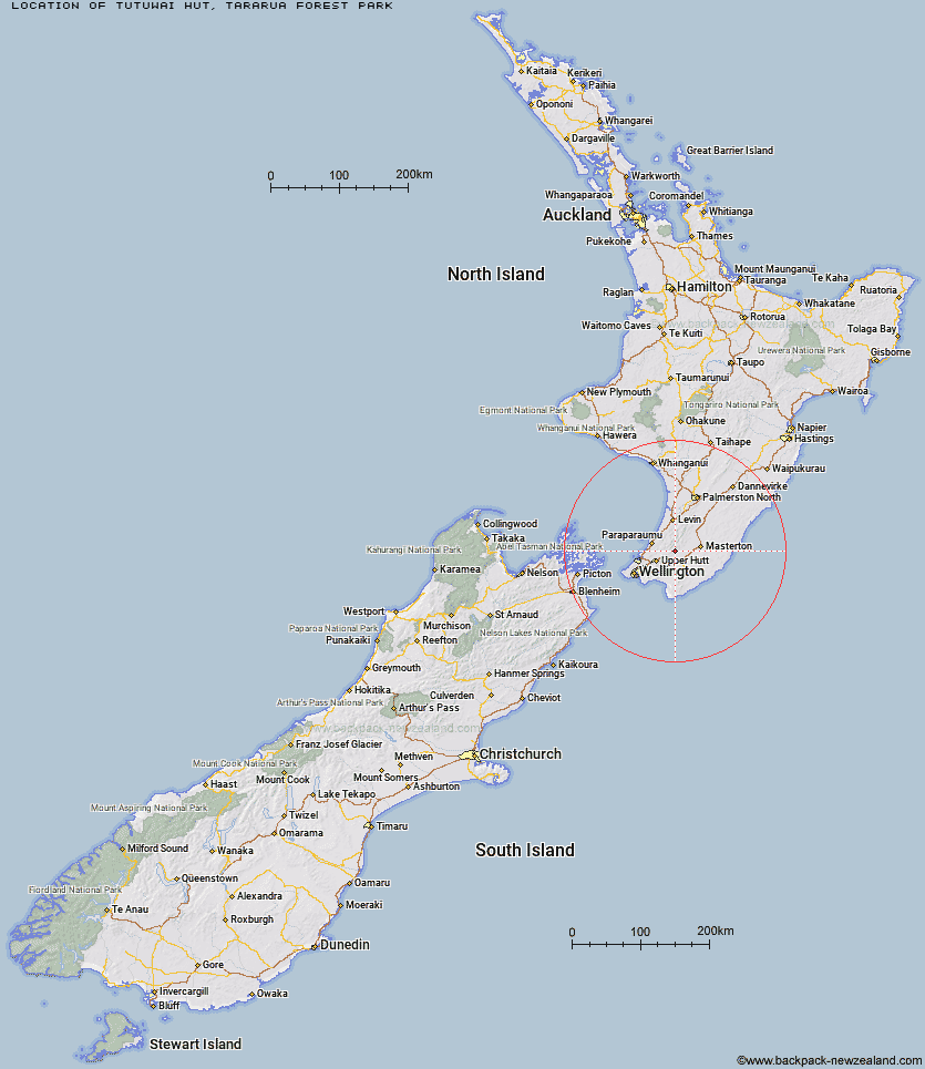
Topo Map showing location of Tutuwai Hut
This information is sourced from DoC, LINZ and Openstreetmap. Some of the hut photos are mine and the rest are from DoC. I will be adding an upload feature soon so people can photos of .Tutuwai Hut.
Basic info: serviced 20-bunk hut in the Wairarapa region.
Latitude: -41.0101435092
Longitude: 175.325065567
Location: Tararua Forest Park
Area: Wairarapa
Type of Hut: Serviced
Tracks: Holdsworth - Kaitoke Track
Map: BP33 Topo Map | Road Map
Does this hut still exist? Have any more information? Contact

Image: DoC
Scroll down to see a topographical map and road map showing the location of Tutuwai Hut
[ A ] [ B ] [ C ] [ D ] [ E ] [ F ] [ G ] [ H ] [ I ] [ J ] [ K ] [ L ] [ M ] [ N ] [ O ] [ P ] [ Q ] [ R ] [ S ] [ T ] [ U ] [ V ] [ W ] [ Y ] [ Z ]
Closest 20 Huts to Tutuwai Hut
These are as the crow fliesCone Hut 3.04km Alpha Hut 4.52km Eastern Hutt Hut 5.41km Waiohine Shelter 5.55km Smith Creek Shelter 6.3km Kime Hut 8.72km Elder Hut 8.87km Neill Forks Hut 8.99km Sayer Hut 9.15km Totara Flats Hut 10.82km Maungahuka Hut 10.91km Penn Creek Hut 12.5km Field Hut 12.76km Aokaparangi Hut 13.48km Renata Hut 13.62km Waiotauru Hut 14.15km Mountain House Shelter 15.66km Mid Waiohine Hut 15.86km Powell Hut 16.23km Kapakapanui Hut 17.61km Anderson Memorial Hut 18.38km Atiwhakatu Hut 19.15km Jumbo Hut 19.82km Waitewaewae Hut 19.99km McGregor Bivouac 21.01km Nichols Hut 22.64km Mid King Bivouac 22.81km Mitre Flats Hut 23.78km Dorset Ridge Hut 23.97km Carkeek Hut 25.18km Tarn Ridge Hut 26.11km Dracophyllum Hut 27.28km Blue Range Hut 29.09km Arete Forks Hut 29.36km Cow Creek Hut 29.46km Arete Hut 30.57km Te Matawai Hut 30.94km Waiopehu Hut 31.67km Waikawa Shelter 32.83km South Ohau Hut 32.94km