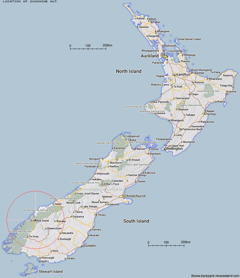
Topo Map showing location of Sunshine Hut
This information is sourced from DoC, LINZ and Openstreetmap. Some of the hut photos are mine and the rest are from DoC. I will be adding an upload feature soon so people can photos of .Sunshine Hut.
Latitude: -44.6293020662
Longitude: 168.117851085
Location:
Type of Hut:
Map: Topo Map | Road Map
Does this hut still exist? Have any more information? Contact
Latitude: -44.6293020662
Longitude: 168.117851085
Location:
Type of Hut:
Map: Topo Map | Road Map
Does this hut still exist? Have any more information? Contact
Scroll down to see a topographical map and road map showing the location of Sunshine Hut
[ A ] [ B ] [ C ] [ D ] [ E ] [ F ] [ G ] [ H ] [ I ] [ J ] [ K ] [ L ] [ M ] [ N ] [ O ] [ P ] [ Q ] [ R ] [ S ] [ T ] [ U ] [ V ] [ W ] [ Y ] [ Z ]
Closest 20 Huts to Sunshine Hut
These are as the crow fliesHidden Falls Hut 0.69km Turners Bivouac 7.74km Lake Alabaster Hut 9.5km Pawnbroker Rock 11.33km Routeburn Falls Hut 12.53km Routeburn Falls Lodge 12.54km McKerrow Island Hut 13.11km Routeburn Flats Hut 13.2km Gill's Bivvy 13.44km Phil's Bivvy 13.99km Demon Trail Hut 15.43km Lake Mackenzie Hut 15.99km Lake Mackenzie Lodge 16.12km Routeburn Shelter 16.13km Homer Hut 17.85km Sandfly Point Shelter 18.18km Lake Howden Hut 20.76km Kaipo Hut 20.86km Kay Creek Hut 21.44km The Divide Shelter 21.75km Olivine Hut 21.99km Daleys Flat Hut 22.23km Giant Gate Shelter 22.78km Esquilant Bivvy Hut 22.94km Hokuri Hut 23.66km Upper Caples Hut 25.25km Earnslaw Hut 26.1km McKellar Lodge 26.82km McKellar Hut 27.05km Boatshed Hut 27.73km Boatshed Shelter 27.76km Twenty Five Mile Hut 27.93km Mid Caples Hut 31.67km Dumpling Hut 31.89km Shelter Rock Hut 31.94km Andersons Cascade Shelter 32.77km Mackinnon Pass Shelter 33.21km Mintaro Hut 33.3km Steele Creek Hut 33.95km Quintin Lodge 33.98km