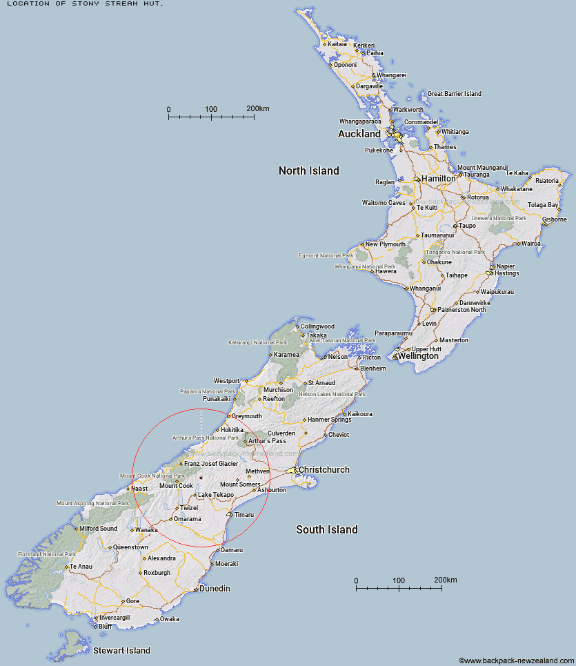
Topo Map showing location of Stony Stream Hut
This information is sourced from DoC, LINZ and Openstreetmap. Some of the hut photos are mine and the rest are from DoC. I will be adding an upload feature soon so people can photos of .Stony Stream Hut.
Latitude: -43.6672743862
Longitude: 170.614980315
Location:
Type of Hut:
Map: Topo Map | Road Map
Does this hut still exist? Have any more information? Contact
Latitude: -43.6672743862
Longitude: 170.614980315
Location:
Type of Hut:
Map: Topo Map | Road Map
Does this hut still exist? Have any more information? Contact
Scroll down to see a topographical map and road map showing the location of Stony Stream Hut
[ A ] [ B ] [ C ] [ D ] [ E ] [ F ] [ G ] [ H ] [ I ] [ J ] [ K ] [ L ] [ M ] [ N ] [ O ] [ P ] [ Q ] [ R ] [ S ] [ T ] [ U ] [ V ] [ W ] [ Y ] [ Z ]
Closest 20 Huts to Stony Stream Hut
These are as the crow fliesRibbonwood Hut 9.63km Macaulay Hut 9.7km Rex Simpson Hut 11.33km Angus Hut 11.38km Royal Hut 11.59km Stone Hut 12.74km Rankin Hut 13.33km Camp Stream Hut 14.34km Crooked Spur Hut 14.86km Middle Gorge Hut 16.4km Red Stag Hut 16.79km Felt Hut 17.83km Birdcage Hut 18.22km Dog Kennel Bivouac 18.24km Memorial Hut 18.59km Tin Hut 19.17km Carneys Bivvy's 19.4km Eade Memorial Hut 19.63km Ryders Hut 19.67km Growler Hut 20.04km Black Mountain Hut 21.81km Godley Hut 22.43km Forbes Bivouac 22.66km Murphys Bivvy 22.75km Waterfall Hut 23.15km Murchison Hut 24.27km Liebig Hut 24.86km Curtis Memorial Hut 25.15km Mistake Flats Hut 25.16km Onslow Hut (Steffan Memorial Hut) 25.61km Kelman Hut 26.26km South Opuha Hut 26.54km Spurs Hut 27.2km Tasman Saddle Hut 27.84km Saint Winifreds Hut 28.36km Littles Hut 29.13km Top Butler Hut 30.85km Erewhon Station Hut 30.87km Whymper Hut 31.81km Watchdog Hut 32.02km