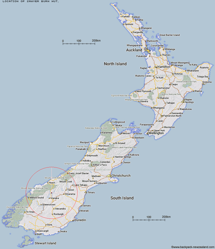
Topo Map showing location of Sawyer Burn Hut
This information is sourced from DoC, LINZ and Openstreetmap. Some of the hut photos are mine and the rest are from DoC. I will be adding an upload feature soon so people can photos of .Sawyer Burn Hut.
Latitude: -44.4157700202
Longitude: 169.257022517
Location:
Type of Hut:
Map: Topo Map | Road Map
Does this hut still exist? Have any more information? Contact
Latitude: -44.4157700202
Longitude: 169.257022517
Location:
Type of Hut:
Map: Topo Map | Road Map
Does this hut still exist? Have any more information? Contact
Scroll down to see a topographical map and road map showing the location of Sawyer Burn Hut
[ A ] [ B ] [ C ] [ D ] [ E ] [ F ] [ G ] [ H ] [ I ] [ J ] [ K ] [ L ] [ M ] [ N ] [ O ] [ P ] [ Q ] [ R ] [ S ] [ T ] [ U ] [ V ] [ W ] [ Y ] [ Z ]
Closest 20 Huts to Sawyer Burn Hut
These are as the crow fliesCraigie Burn Hut 12.8km Big Hopwood Burn Hut 13.66km Moonlight & Roses Hut 14.3km Junction Hut 15.1km Wanaka Faces Hut 15.85km Bush Hut 16.3km Mae West Bivouac 17.18km High Burn Hut 18.57km Albert Burn Hut 19.46km Pakituhi Hut 20.1km Stodys Hut 20.11km Top Timaru Hut 20.33km Cotters Hut 21.54km Ben Avon Hut 23.64km Cameron Hut 24.54km Green Bush Hut 24.61km Little Boundary Hut 24.7km Burnt Bush Hut 25.16km Boundary Hut 25.63km Kerin Forks Hut 26.35km Top Dingle Hut 28.14km Siberia Hut 28.15km Young Hut 29.93km Ahuriri Base Hut 31.57km Top Forks Hut 33.08km Scrubby Hut 33.27km Hideaway Hut 34.58km Makarora Hut 35.04km Bull Flat Hut 36.36km Rock of Ages Bivouac 36.72km Shamrock Hut 37.23km Snowy Gorge Hut 38.02km Saddle Hut 38.32km Brewster Hut 38.51km Black Peak Hut 39.66km Ferguson Hut 40.39km Polson's Hut 41.38km Raspberry Creek Shelter 41.86km Fern Burn Hut 42.01km Hagens Hut 42.02km