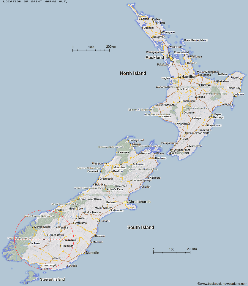
Topo Map showing location of Saint Marys Hut
This information is sourced from DoC, LINZ and Openstreetmap. Some of the hut photos are mine and the rest are from DoC. I will be adding an upload feature soon so people can photos of .Saint Marys Hut.
Latitude: -45.2378882241
Longitude: 168.494659922
Location:
Type of Hut:
Map: Topo Map | Road Map
Does this hut still exist? Have any more information? Contact
Latitude: -45.2378882241
Longitude: 168.494659922
Location:
Type of Hut:
Map: Topo Map | Road Map
Does this hut still exist? Have any more information? Contact
Scroll down to see a topographical map and road map showing the location of Saint Marys Hut
[ A ] [ B ] [ C ] [ D ] [ E ] [ F ] [ G ] [ H ] [ I ] [ J ] [ K ] [ L ] [ M ] [ N ] [ O ] [ P ] [ Q ] [ R ] [ S ] [ T ] [ U ] [ V ] [ W ] [ Y ] [ Z ]
Closest 20 Huts to Saint Marys Hut
These are as the crow fliesBilly Hut 3.14km Siberia Hut 8.75km Ross Hut 10.2km Long Burn Hut 12.98km Mitchells Hut 13.85km Cowshed Hut 14.98km Dog Box Bivouac 15.92km Shepherd Creek Hut 19.13km Sam Summers Hut 21.35km Irthing Hut 23.94km Ashton Hut 24.04km Two Mile Hut 25.13km Careys Hut 26.44km Upper Oreti Hut 26.51km Upper Cromel Hut 26.55km West Burn Hut 26.9km Boundary Hut 27km Cromel Branch Hut 28.22km Lincoln Hut 28.72km Upper Windley Hut 29.57km Mansion Hut 29.64km Taipo Hut 29.84km Islands Hut 30.23km Garston Ski Hut 31.14km Forks Hut 31.92km Slate Hut 32.68km Baileys Hut 32.86km Mt Bee Bunkrooms 33.35km Mud Hut 33.39km Greenstone Hut 34.04km Kiwi Burn Hut 34.17km Glen Roy Raceman's Hut 34.32km Cromel Base Hut 35.14km Slip Flat Hut 35.77km Butchers Hut 35.93km Army Hut 36.56km Steele Creek Lodge 37.81km Lower Windley Hut 37.92km Oreti Hut 39.52km Home Hill Hut 39.57km