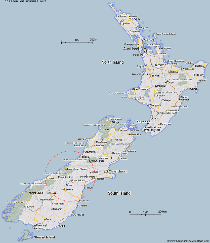
Topo Map showing location of Ryders Hut
This information is sourced from DoC, LINZ and Openstreetmap. Some of the hut photos are mine and the rest are from DoC. I will be adding an upload feature soon so people can photos of .Ryders Hut.
Latitude: -43.7644306056
Longitude: 170.41051462
Location:
Type of Hut:
Map: Topo Map | Road Map
Does this hut still exist? Have any more information? Contact
Latitude: -43.7644306056
Longitude: 170.41051462
Location:
Type of Hut:
Map: Topo Map | Road Map
Does this hut still exist? Have any more information? Contact
Scroll down to see a topographical map and road map showing the location of Ryders Hut
[ A ] [ B ] [ C ] [ D ] [ E ] [ F ] [ G ] [ H ] [ I ] [ J ] [ K ] [ L ] [ M ] [ N ] [ O ] [ P ] [ Q ] [ R ] [ S ] [ T ] [ U ] [ V ] [ W ] [ Y ] [ Z ]
Closest 20 Huts to Ryders Hut
These are as the crow fliesTin Hut 3.03km Waterfall Hut 3.9km Middle Gorge Hut 4.15km Birdcage Hut 9.36km Memorial Hut 9.87km Ribbonwood Hut 10.14km Littles Hut 11.75km Angus Hut 13.27km Green Point Hut 14.01km Liebig Hut 17.09km Rex Simpson Hut 17.77km Rankin Hut 18.77km Onslow Hut (Steffan Memorial Hut) 19.14km Camp Stream Hut 19.43km Jollie Hut 19.64km Stony Stream Hut 19.67km Maryburn Hut 23.33km Ball Hut 23.52km Caroline Hut 23.99km Telegraph Hut 24.48km Macaulay Hut 25.67km Red Stag Hut 26.01km Stocking Stream Shelter 26.22km Royal Hut 26.36km Haast Hut 26.53km Plateau Hut 27.13km Murchison Hut 27.37km Kelman Hut 27.55km Eade Memorial Hut 27.85km Copland Shelter 27.87km Mueller Hut 28.16km Sefton Bivvy 28.21km Tasman Saddle Hut 28.41km South Opuha Hut 29.1km Empress Hut 29.93km Stone Hut 30.25km Pioneer Hut 31.72km Centennial Hut 31.85km Godley Hut 32.59km Whale Stream Hut 32.82km