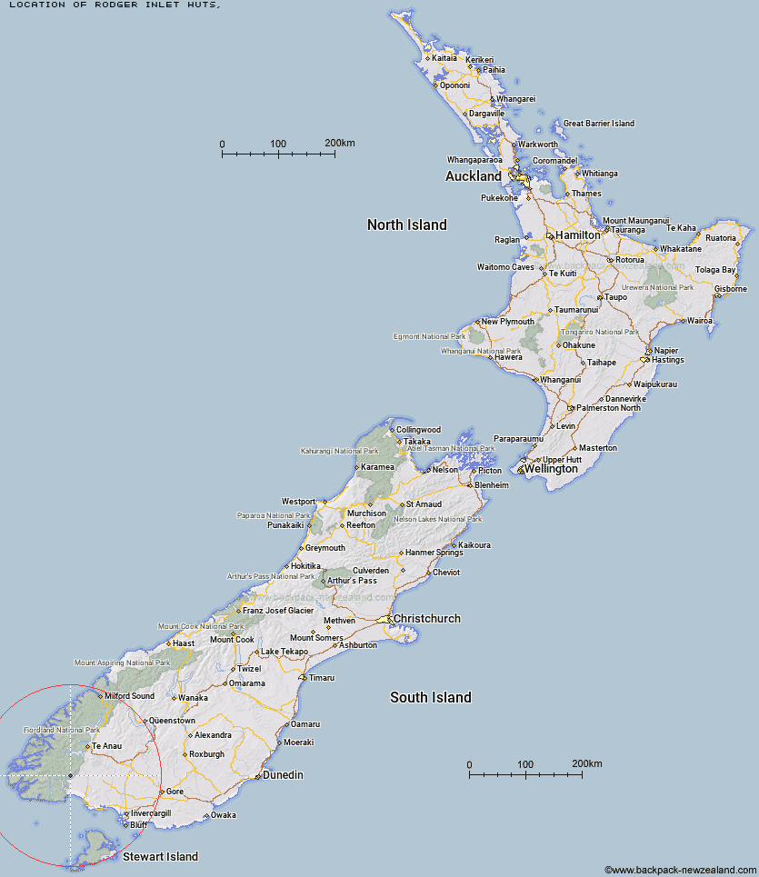
Topo Map showing location of Rodger Inlet Huts
This information is sourced from DoC, LINZ and Openstreetmap. Some of the hut photos are mine and the rest are from DoC. I will be adding an upload feature soon so people can photos of .Rodger Inlet Huts.
Latitude: -45.8574876267
Longitude: 167.443189682
Location:
Type of Hut:
Map: Topo Map | Road Map
Does this hut still exist? Have any more information? Contact
Latitude: -45.8574876267
Longitude: 167.443189682
Location:
Type of Hut:
Map: Topo Map | Road Map
Does this hut still exist? Have any more information? Contact
Scroll down to see a topographical map and road map showing the location of Rodger Inlet Huts
[ A ] [ B ] [ C ] [ D ] [ E ] [ F ] [ G ] [ H ] [ I ] [ J ] [ K ] [ L ] [ M ] [ N ] [ O ] [ P ] [ Q ] [ R ] [ S ] [ T ] [ U ] [ V ] [ W ] [ Y ] [ Z ]
Closest 20 Huts to Rodger Inlet Huts
These are as the crow fliesEel Creek Hut 6.89km Monowai Hut 7.71km Green Lake Hut 8.67km Clark Hut - A Frame 11.29km Historic Clark Hut 12.61km Borland Bivouac 14.21km Caroline Hut 15.49km North Borland Hut 19.37km Hauroko Burn Hut 23.25km Halfway Hut 25.68km Teal Bay Hut 25.92km Lake Roe Hut 28.86km Back Valley Hut 30.53km Hope Arm Hut 30.71km Percy Shelter 31.25km Barcoo Hut 32.11km Telford Hut 33.34km Redcliff Hut 33.42km Rock Hut 34.45km Loch Maree Hut 35.01km Okaka Lodge 35.07km Lake Poteriteri Hut 35.99km Whare Creek Hut 36.42km Cheviot Downs Hut 36.53km Kintail Hut 37.07km Upper Wairaki Hut 37.17km Upper Spey Hut 37.71km Spence Hut 37.78km West Arm Hut 39.47km Lower Wairaki Hut 39.52km Port Craig Lodge 41km Port Craig School Hut 41.08km Supper Cove Hut 42.35km Shallow Bay Hut 42.57km Aparima Forks Hut 43.06km Moturau Hut 43.76km Percy Burn Hut 44km Upper Princhester Hut 44.92km Aparima Huts 46.24km Freeman Burn Hut 46.62km