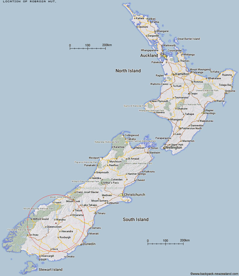
Topo Map showing location of Robrosa Hut
This information is sourced from DoC, LINZ and Openstreetmap. Some of the hut photos are mine and the rest are from DoC. I will be adding an upload feature soon so people can photos of .Robrosa Hut.
Latitude: -44.8570607333
Longitude: 169.188898449
Location:
Type of Hut:
Map: Topo Map | Road Map
Does this hut still exist? Have any more information? Contact
Latitude: -44.8570607333
Longitude: 169.188898449
Location:
Type of Hut:
Map: Topo Map | Road Map
Does this hut still exist? Have any more information? Contact
Scroll down to see a topographical map and road map showing the location of Robrosa Hut
[ A ] [ B ] [ C ] [ D ] [ E ] [ F ] [ G ] [ H ] [ I ] [ J ] [ K ] [ L ] [ M ] [ N ] [ O ] [ P ] [ Q ] [ R ] [ S ] [ T ] [ U ] [ V ] [ W ] [ Y ] [ Z ]
Closest 20 Huts to Robrosa Hut
These are as the crow fliesKirtle Burn Hut 2.71km Meg Hut 12.33km Deep Creek Hut 12.36km Fern Burn Hut 20.74km Highland Creek Hut 21.56km Roses Hut 26.38km Eight Mile Hut 27.66km Cairnmuir Musterer's Hut 28.46km Pakituhi Hut 33.32km Saddle Hut 34.44km Glen Roy Raceman's Hut 35.44km Wanaka Faces Hut 36.13km Cabin Hut 36.98km Peats Hut 37.05km Lauder Basin Hut 37.15km Polson's Hut 37.57km Junction Hut 39.31km Polnoon Hut 39.43km Green Gate Huts 39.46km Stodys Hut 39.89km Richmond Hut 39.94km Old Woman Hut 40.13km Sainsburys Huts 40.45km Black Peak Hut 40.57km Shiel Burn Hut 40.79km Crystal Hut 41.21km Bullendale Hut 41.38km Dynamo Hut 41.97km Ballarat Hut - Flood Burn 43.59km Moonlight & Roses Hut 43.7km Archie's Hut - Copper Creek 44.03km Whites Hut 45.47km Butchers Hut 45.51km Two Mile Hut 46.56km Sixteen Mile Huts 47.2km Stoney Creek Hut 47.41km Burnt Bush Hut 49.22km Sawyer Burn Hut 49.36km Top Timaru Hut 49.58km Mae West Bivouac 49.95km