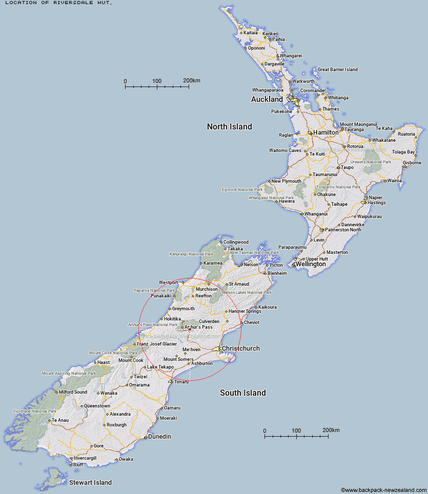
Topo Map showing location of Riversdale Hut
This information is sourced from DoC, LINZ and Openstreetmap. Some of the hut photos are mine and the rest are from DoC. I will be adding an upload feature soon so people can photos of .Riversdale Hut.
Latitude: -43.0001632615
Longitude: 171.779066165
Location:
Type of Hut:
Map: Topo Map | Road Map
Does this hut still exist? Have any more information? Contact
Latitude: -43.0001632615
Longitude: 171.779066165
Location:
Type of Hut:
Map: Topo Map | Road Map
Does this hut still exist? Have any more information? Contact
Scroll down to see a topographical map and road map showing the location of Riversdale Hut
[ A ] [ B ] [ C ] [ D ] [ E ] [ F ] [ G ] [ H ] [ I ] [ J ] [ K ] [ L ] [ M ] [ N ] [ O ] [ P ] [ Q ] [ R ] [ S ] [ T ] [ U ] [ V ] [ W ] [ Y ] [ Z ]
Closest 20 Huts to Riversdale Hut
These are as the crow fliesAndrews Shelter 1.32km Hawdon Shelter 2.94km Sudden Valley Bivouac 8.26km Hawdon Hut 10.59km East Hawdon Bivouac 11.14km Turnbull Bivouac 11.62km Bealey Hut 11.93km Edwards Hut 12.48km Cass Saddle Hut 12.88km Mingha Bivouac 14.87km Klondyke Shelter 15.44km Greyneys Shelter 15.46km Lagoon Saddle A Frame Hut 15.66km Lagoon Saddle Hut 15.69km Worsley Bivouac 16.54km Goat Pass Hut 16.67km Otehake Hut 16.8km Poulter Hut 16.95km Trust/Poulter Hut 16.98km Bealey Spur Hut 17.39km West Harper Hut 17.84km Upper Deception Hut 18.45km Ranger Bivouac 18.7km Hamilton Hut 18.8km Bull Creek Hut 19.47km Lochinvar Hut 19.96km Jacks Hut 20.04km Puketeraki Bivouac 20.1km Hamilton Hut 20.13km Poulter Bivouac 20.58km Rosa Hut 21.13km Koropuku Hut 21.24km Broken River Hut 21.59km Anti Crow Hut 21.77km Crow Hut 22.23km Minchin Bivouac 22.98km Pfeifer Bivouac 23.77km Petticoat Junction Hut 24.26km Lower Salmon Creek Bivouac 24.29km Townsend Hut 25.12km