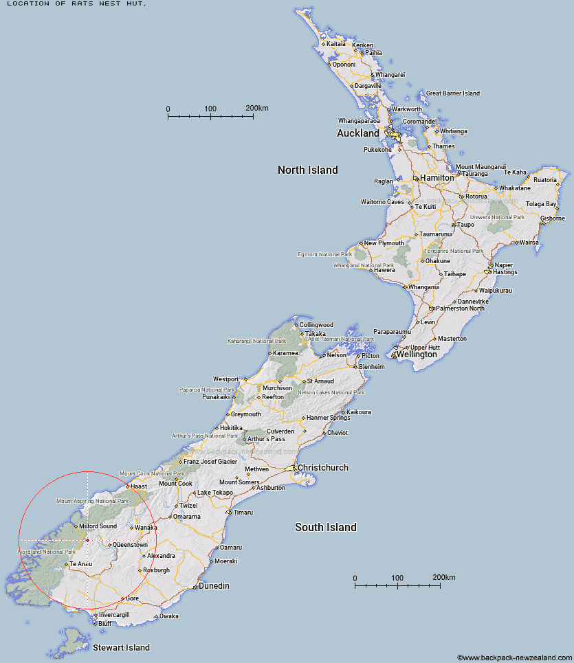
Topo Map showing location of Rats Nest Hut
This information is sourced from DoC, LINZ and Openstreetmap. Some of the hut photos are mine and the rest are from DoC. I will be adding an upload feature soon so people can photos of .Rats Nest Hut.
Latitude: -44.9451309353
Longitude: 168.186057054
Location:
Type of Hut:
Map: Topo Map | Road Map
Does this hut still exist? Have any more information? Contact
Latitude: -44.9451309353
Longitude: 168.186057054
Location:
Type of Hut:
Map: Topo Map | Road Map
Does this hut still exist? Have any more information? Contact
Scroll down to see a topographical map and road map showing the location of Rats Nest Hut
[ A ] [ B ] [ C ] [ D ] [ E ] [ F ] [ G ] [ H ] [ I ] [ J ] [ K ] [ L ] [ M ] [ N ] [ O ] [ P ] [ Q ] [ R ] [ S ] [ T ] [ U ] [ V ] [ W ] [ Y ] [ Z ]
Closest 20 Huts to Rats Nest Hut
These are as the crow fliesSteele Creek Lodge 2.85km Steele Creek Hut 2.96km Slip Flat Hut 7.05km Greenstone Hut 7.12km Home Hill Hut 8.01km McKellar Hut 8.77km McKellar Lodge 9.01km Mid Caples Hut 9.06km Upper Caples Hut 11.61km Taipo Hut 12.06km The Divide Shelter 14.42km Lake Howden Hut 14.95km Kay Creek Hut 16.92km Forks Hut 19.32km Lake Mackenzie Lodge 19.64km Lake Mackenzie Hut 19.77km Glade House 20.43km Boundary Hut 21.64km Clinton Hut 22.3km Bonnie Jean Hut 22.83km Jean Hut 22.85km Heather Jock Hut 23.52km McIntyre's Hut 23.6km Routeburn Falls Lodge 24.36km Routeburn Falls Hut 24.4km Homer Hut 24.5km Routeburn Flats Hut 24.52km McIntosh Hut 24.75km Kelly's Hut 24.95km Phil's Bivvy 25.4km Wallers Hut 25.62km Routeburn Shelter 26.18km Gill's Bivvy 26.25km Careys Hut 27.09km Worsley Hut 27.75km Hirere Shelter 28.45km West Burn Hut 29.14km Sam Summers Hut 29.45km Prairie Shelter 31.43km Bus Stop Shelter 32.28km