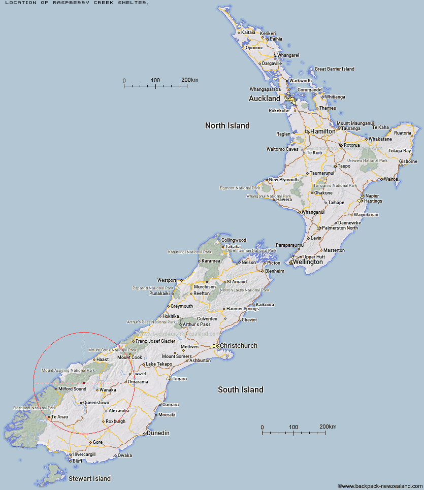
Topo Map showing location of Raspberry Creek Shelter
This information is sourced from DoC, LINZ and Openstreetmap. Some of the hut photos are mine and the rest are from DoC. I will be adding an upload feature soon so people can photos of .Raspberry Creek Shelter.
Latitude: -44.5130398126
Longitude: 168.747462802
Location:
Type of Hut:
Map: Topo Map | Road Map
Does this hut still exist? Have any more information? Contact
Latitude: -44.5130398126
Longitude: 168.747462802
Location:
Type of Hut:
Map: Topo Map | Road Map
Does this hut still exist? Have any more information? Contact
Scroll down to see a topographical map and road map showing the location of Raspberry Creek Shelter
[ A ] [ B ] [ C ] [ D ] [ E ] [ F ] [ G ] [ H ] [ I ] [ J ] [ K ] [ L ] [ M ] [ N ] [ O ] [ P ] [ Q ] [ R ] [ S ] [ T ] [ U ] [ V ] [ W ] [ Y ] [ Z ]
Closest 20 Huts to Raspberry Creek Shelter
These are as the crow fliesCascade Hut 6.67km Aspiring Hut 7.99km Tummel Burn Hut 8.72km French Ridge Hut 10.3km Liverpool Hut 11.19km Black Peak Hut 11.37km Scotts Rock Bivouac 11.72km Rock of Ages Bivouac 11.9km Hundred Mile Hut 12.65km Lochnagar Hut 13.67km Dart Hut 15.33km Arawhata Rock Bivouac 15.64km Colin Todd Hut 16.23km Polnoon Hut 16.28km Saddle Hut 17.39km Shiel Burn Hut 18.69km Sixteen Mile Huts 19.33km Shelter Rock Hut 19.58km Cabin Hut 20.45km Twenty Five Mile Hut 26.13km Earnslaw Hut 26.66km Ballarat Hut - Flood Burn 27.41km Top Forks Hut 28.9km Esquilant Bivvy Hut 29.27km Albert Burn Hut 29.73km Daleys Flat Hut 29.83km Bullendale Hut 31.08km Fern Burn Hut 31.43km Wanaka Faces Hut 31.58km Archie's Hut - Copper Creek 32.66km Dynamo Hut 32.75km Highland Creek Hut 32.85km Roses Hut 33.66km Peats Hut 35.3km Crystal Hut 35.88km Sainsburys Huts 37.95km Kerin Forks Hut 38.12km Craigie Burn Hut 39.21km Stoney Creek Hut 39.4km Sawyer Burn Hut 41.86km