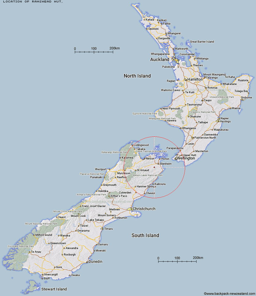
Topo Map showing location of Ramshead Hut
This information is sourced from DoC, LINZ and Openstreetmap. Some of the hut photos are mine and the rest are from DoC. I will be adding an upload feature soon so people can photos of .Ramshead Hut.
Latitude: -41.6578792474
Longitude: 173.75170114
Location:
Type of Hut:
Map: Topo Map | Road Map
Does this hut still exist? Have any more information? Contact
Latitude: -41.6578792474
Longitude: 173.75170114
Location:
Type of Hut:
Map: Topo Map | Road Map
Does this hut still exist? Have any more information? Contact
Scroll down to see a topographical map and road map showing the location of Ramshead Hut
[ A ] [ B ] [ C ] [ D ] [ E ] [ F ] [ G ] [ H ] [ I ] [ J ] [ K ] [ L ] [ M ] [ N ] [ O ] [ P ] [ Q ] [ R ] [ S ] [ T ] [ U ] [ V ] [ W ] [ Y ] [ Z ]
Closest 20 Huts to Ramshead Hut
These are as the crow fliesRamshead Hut 0km Beehive Hut 3.07km McNaughts Hut 4.76km Omaka Bivouac 5.96km Dillon Hut 5.98km Black Birch Bivouac 8.79km Tinpot Hut 10.39km Lake Alexander Hut 12.62km Penk Hut 15.42km Chimney 22.13km Flynns 26.85km Fosters Hut 26.87km Cam Hut 28.17km Mt Sunday Bivouac 28.31km Swale Hut 29.74km Beechs Hut 29.75km Devils Creek Hut 30.57km Fishtail Hut 32.1km Zoo Hut 32.9km Isolation Hut 33.1km Top Whare 33.86km Whernside Hut 35.02km Mead Hut 35.2km Mt Fell Hut 35.8km Gosling Hut 36.14km Richmond Saddle Hut 36.84km Turkeys Nest Bivouac 37.04km Lake Chalice Hut 37.25km Dee Hut 37.97km Cabbage Tree Hut 38.07km Hidden Hut 38.93km Gibson Hut 39.21km Old Middlehurst Hut 39.3km Captain Creek Hut 41.12km Blue Mountain Hut 42.16km Old Man Hut 42.63km Middy Creek Hut 42.65km Roebuck Hut 42.72km Mid Goulter Hut 43.76km Slaty Hut 43.79km