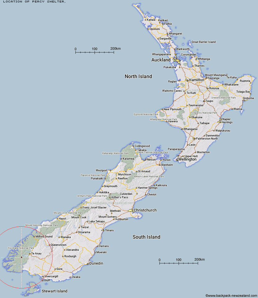
Topo Map showing location of Percy Shelter
This information is sourced from DoC, LINZ and Openstreetmap. Some of the hut photos are mine and the rest are from DoC. I will be adding an upload feature soon so people can photos of .Percy Shelter.
Latitude: -45.5891695904
Longitude: 167.323626074
Location:
Type of Hut:
Map: Topo Map | Road Map
Does this hut still exist? Have any more information? Contact
Latitude: -45.5891695904
Longitude: 167.323626074
Location:
Type of Hut:
Map: Topo Map | Road Map
Does this hut still exist? Have any more information? Contact
Scroll down to see a topographical map and road map showing the location of Percy Shelter
[ A ] [ B ] [ C ] [ D ] [ E ] [ F ] [ G ] [ H ] [ I ] [ J ] [ K ] [ L ] [ M ] [ N ] [ O ] [ P ] [ Q ] [ R ] [ S ] [ T ] [ U ] [ V ] [ W ] [ Y ] [ Z ]
Closest 20 Huts to Percy Shelter
These are as the crow fliesPercy Shelter 0km West Arm Hut 8.5km Upper Spey Hut 12.52km Kintail Hut 16.41km North Borland Hut 16.59km Hope Arm Hut 16.95km Freeman Burn Hut 17.13km Borland Bivouac 17.17km Lake Roe Hut 18.91km Back Valley Hut 20.11km Historic Clark Hut 21.73km Clark Hut - A Frame 22.6km Green Lake Hut 22.63km Loch Maree Hut 22.71km Halfway Hut 23.6km Shallow Bay Hut 24.89km Moturau Hut 25.35km Iris Burn Hut 25.63km Monowai Hut 27.33km Hanging Valley Shelter 28.3km Forest Burn Shelter 29.45km Hauroko Burn Hut 30.2km Rodger Inlet Huts 31.25km Supper Cove Hut 32.04km Luxmore Hut 32.33km Eel Creek Hut 32.72km Brod Bay Shelter and Campsite 34.19km Cheviot Downs Hut 36.25km Caroline Hut 39.28km Whare Creek Hut 40.05km Redcliff Hut 41.77km The Gut Hut 43.44km Robin Saddle Hut 43.79km Telford Hut 44.46km Spence Hut 45.06km Upper Princhester Hut 46.06km Upper Wairaki Hut 46.85km Aparima Forks Hut 48.02km Lower Princhester Hut 48.85km Junction Burn Hut 50.59km