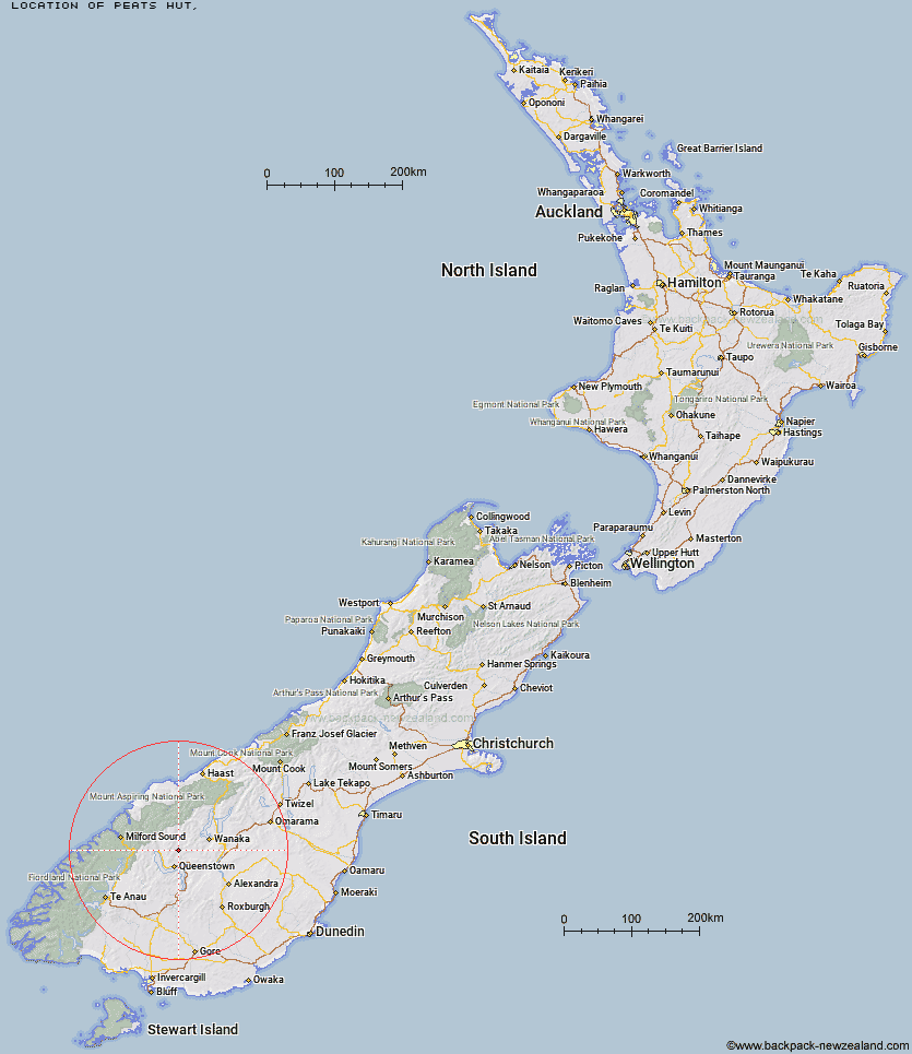
Topo Map showing location of Peats Hut
This information is sourced from DoC, LINZ and Openstreetmap. Some of the hut photos are mine and the rest are from DoC. I will be adding an upload feature soon so people can photos of .Peats Hut.
Latitude: -44.8298906295
Longitude: 168.720532882
Location:
Type of Hut:
Map: Topo Map | Road Map
Does this hut still exist? Have any more information? Contact
Latitude: -44.8298906295
Longitude: 168.720532882
Location:
Type of Hut:
Map: Topo Map | Road Map
Does this hut still exist? Have any more information? Contact
Scroll down to see a topographical map and road map showing the location of Peats Hut
[ A ] [ B ] [ C ] [ D ] [ E ] [ F ] [ G ] [ H ] [ I ] [ J ] [ K ] [ L ] [ M ] [ N ] [ O ] [ P ] [ Q ] [ R ] [ S ] [ T ] [ U ] [ V ] [ W ] [ Y ] [ Z ]
Closest 20 Huts to Peats Hut
These are as the crow fliesCrystal Hut 4.18km Sainsburys Huts 4.2km Dynamo Hut 5.58km Bullendale Hut 5.99km Archie's Hut - Copper Creek 7.57km Green Gate Huts 8km Ballarat Hut - Flood Burn 10.11km Stoney Creek Hut 10.69km Eight Mile Hut 11.45km Roses Hut 11.56km Butchers Hut 13.41km Cabin Hut 15.64km Shiel Burn Hut 16.61km Sixteen Mile Huts 18.34km Highland Creek Hut 18.52km Wallers Hut 18.83km Kelly's Hut 19.13km Polnoon Hut 19.59km McIntosh Hut 20.83km Heather Jock Hut 21.06km Bonnie Jean Hut 21.63km McIntyre's Hut 21.79km Jean Hut 21.81km Fern Burn Hut 23.11km Hundred Mile Hut 25.13km Saddle Hut 25.22km Black Peak Hut 27.12km Lochnagar Hut 27.23km Meg Hut 28.14km Sam Summers Hut 28.42km Twenty Five Mile Hut 28.87km Tummel Burn Hut 29.33km Glen Roy Raceman's Hut 31.04km Earnslaw Hut 31.63km Esquilant Bivvy Hut 34.38km Shelter Rock Hut 34.48km Deep Creek Hut 34.55km Kirtle Burn Hut 35km Raspberry Creek Shelter 35.3km Mid Caples Hut 35.93km