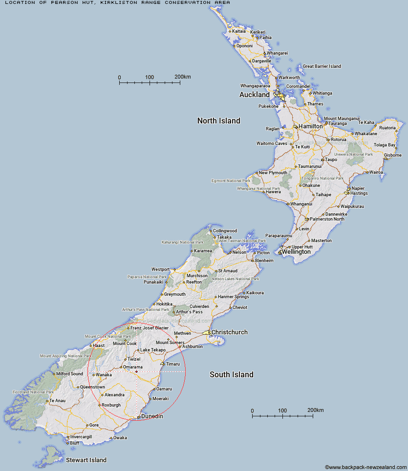
Topo Map showing location of Pearson Hut
This information is sourced from DoC, LINZ and Openstreetmap. Some of the hut photos are mine and the rest are from DoC. I will be adding an upload feature soon so people can photos of .Pearson Hut.
Basic info: basic four-bunk hut in the Mackenzie Country and Waitaki area.
Latitude: -44.6028691201
Longitude: 170.429095378
Location: Kirkliston Range Conservation Area
Area: Canterbury
Type of Hut: Basic/bivvies
Map: CA16 Topo Map | Road Map
Does this hut still exist? Have any more information? Contact
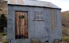
Image: DoC
Scroll down to see a topographical map and road map showing the location of Pearson Hut
[ A ] [ B ] [ C ] [ D ] [ E ] [ F ] [ G ] [ H ] [ I ] [ J ] [ K ] [ L ] [ M ] [ N ] [ O ] [ P ] [ Q ] [ R ] [ S ] [ T ] [ U ] [ V ] [ W ] [ Y ] [ Z ]
Closest 20 Huts to Pearson Hut
These are as the crow fliesAwakino Ski Field 21.66km Hut Creek Hut 28.22km Chimney Creek Hut 30.31km Tailings Hut 31.8km Brown Hut 34.3km Ida Railway Hut 34.68km Otamatapaio Hut 35.64km Wire Yards Hut 36.89km Buster Hut 37.81km Balmoral Huts 47.22km Boundary Creek Hut 47.52km Top Hut 49.75km Middle Hut 53.28km Crumb Hut 55.31km Half Moon Hut 59.97km Richmond Hut 62.06km Baikie Hut 62.19km Mitchells Hut 62.6km Mount Hut 62.65km Grays Hut 63.49km Hideaway Hut 65.88km Polson's Hut 65.95km Lauder Basin Hut 66.48km Cayenne Hut 66.68km Waitaki Huts 67.3km Snowy Gorge Hut 68.09km Gentle Annie Hut 68.88km Maitland Hut 69.39km Bog Hut 69.64km Telegraph Hut 70.04km Burnt Bush Hut 70.44km Maryburn Hut 74.65km Red Hut 74.65km Top Timaru Hut 74.99km Stony Stream Bivouac 74.99km South Temple Hut 75.05km Ahuriri Base Hut 75.46km Le Crens Hut 76.83km Ben Avon Hut 76.96km Cotters Hut 77.11km