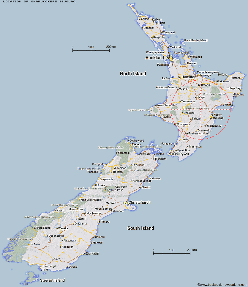
Topo Map showing location of Omarukokere Bivouac
This information is sourced from DoC, LINZ and Openstreetmap. Some of the hut photos are mine and the rest are from DoC. I will be adding an upload feature soon so people can photos of .Omarukokere Bivouac.
Latitude: -39.2500276625
Longitude: 176.291874326
Location:
Type of Hut:
Map: Topo Map | Road Map
Does this hut still exist? Have any more information? Contact
Latitude: -39.2500276625
Longitude: 176.291874326
Location:
Type of Hut:
Map: Topo Map | Road Map
Does this hut still exist? Have any more information? Contact
Scroll down to see a topographical map and road map showing the location of Omarukokere Bivouac
[ A ] [ B ] [ C ] [ D ] [ E ] [ F ] [ G ] [ H ] [ I ] [ J ] [ K ] [ L ] [ M ] [ N ] [ O ] [ P ] [ Q ] [ R ] [ S ] [ T ] [ U ] [ V ] [ W ] [ Y ] [ Z ]
Closest 20 Huts to Omarukokere Bivouac
These are as the crow fliesOmarukokere Bivouac 0km Venison Tops Hut (Tira Lodge) 2.59km Rocks Ahead Bivouac 2.87km Rocks Ahead Hut 2.87km Ngaawapurua Hut 4.09km Mangaturutu Hut 4.74km Manson Bivouac 5.25km Back Ridge Bivouac 5.53km Otutu Hut 5.71km Old Manson Hut 5.79km Manson Hut 5.82km Back Ridge Hut 6.31km Te Puke (Te Pukeohikarua) Hut 6.42km Ballard Hut 6.84km Otutu Island Hut 7.07km Harkness Hut 7.58km Studholme Saddle Hut 8.43km Kiwi Mouth Hut 8.46km Studholme Saddle Bivouac 8.73km Dominie Hut 9.42km Kiwi Saddle Hut 9.56km Makahu Saddle Hut 10.78km Kaweka Flats Bivouac 10.83km Rock Camp Bivouac 11.05km Tussock Hut 11.47km Mangatainoka Hut 11.7km Middle Hill Hut 11.87km Iron Whare 11.97km Makino Hut 12.02km Golden Hills Hut 12.13km Cameron Hut 12.42km Mackintosh Hut 12.76km Black Birch Bivouac 13.86km East Creek Hut 17.91km Te Matai Hut 17.97km Te Apunga Hut 18.23km Tevers Hut 18.54km Ernie's Creek Hut 19.46km Oamaru Hut 19.55km WTFRW Hut 19.56km