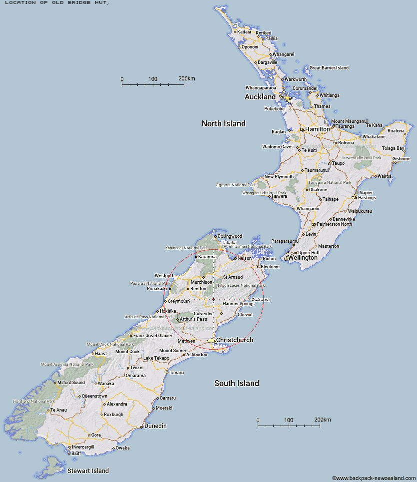
Topo Map showing location of Old Bridge Hut
This information is sourced from DoC, LINZ and Openstreetmap. Some of the hut photos are mine and the rest are from DoC. I will be adding an upload feature soon so people can photos of .Old Bridge Hut.
Latitude: -42.3987750493
Longitude: 172.618401592
Location:
Type of Hut:
Map: Topo Map | Road Map
Does this hut still exist? Have any more information? Contact
Latitude: -42.3987750493
Longitude: 172.618401592
Location:
Type of Hut:
Map: Topo Map | Road Map
Does this hut still exist? Have any more information? Contact
Scroll down to see a topographical map and road map showing the location of Old Bridge Hut
[ A ] [ B ] [ C ] [ D ] [ E ] [ F ] [ G ] [ H ] [ I ] [ J ] [ K ] [ L ] [ M ] [ N ] [ O ] [ P ] [ Q ] [ R ] [ S ] [ T ] [ U ] [ V ] [ W ] [ Y ] [ Z ]
Closest 20 Huts to Old Bridge Hut
These are as the crow fliesPool Hut 0.4km Jervois Hut 3.79km Scotties Hut 3.87km Stony Stream Bivouac 7.25km Tin Jug Hut 8.29km Anne Hut 9.06km Steyning Hut 9.28km Anne Cullers Hut 9.67km Stanley Vale Hut 9.82km Lake Guyon Hut 12.66km Christopher Hut 13.03km Rokeby Hut 13.29km Christopher Cullers Hut 13.79km Boyle Flat Hut 14.92km Fowlers Hut 15.33km Magdalen Hut 16.08km Ada Pass Hut 16.88km Tutu Hut 16.89km Cannibal Gorge Hut 17.43km Carlyle Hut 19.62km Bobs Hut 22.29km Lucretia Hut 22.37km East Matakitaki Hut 23.36km Pell Stream Hut 24.46km Brass Monkey Bivouac 24.93km Nina Hut 25.43km Caroline Creek Bivouac 27.48km Devils Den Bivouac 28.37km Bus Shelter 28.65km Manson-Nicholls Memorial Hut 28.97km Upper Nina Bivouac 29.49km Lake Christabel Hut 30.11km Burn Creek Hut 30.31km Downie Hut 30.51km Doubtful Hut 31.18km Valley Camp Hut 31.36km Upper D'Urville Hut 32.32km Island Gully Hut 32.86km Yarra Hut 33.41km Paske Hut 33.84km