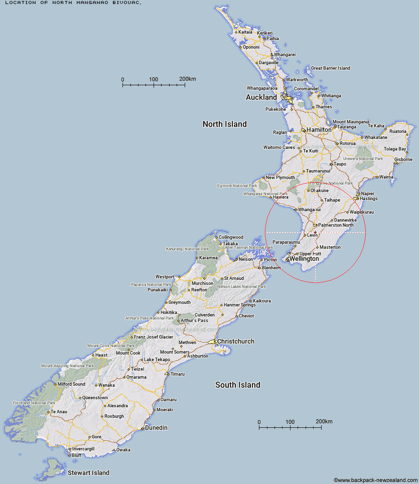
Topo Map showing location of North Mangahao Bivouac
This information is sourced from DoC, LINZ and Openstreetmap. Some of the hut photos are mine and the rest are from DoC. I will be adding an upload feature soon so people can photos of .North Mangahao Bivouac.
Latitude: -40.5423019082
Longitude: 175.607129352
Location:
Type of Hut:
Map: Topo Map | Road Map
Does this hut still exist? Have any more information? Contact
Latitude: -40.5423019082
Longitude: 175.607129352
Location:
Type of Hut:
Map: Topo Map | Road Map
Does this hut still exist? Have any more information? Contact
Scroll down to see a topographical map and road map showing the location of North Mangahao Bivouac
[ A ] [ B ] [ C ] [ D ] [ E ] [ F ] [ G ] [ H ] [ I ] [ J ] [ K ] [ L ] [ M ] [ N ] [ O ] [ P ] [ Q ] [ R ] [ S ] [ T ] [ U ] [ V ] [ W ] [ Y ] [ Z ]
Closest 20 Huts to North Mangahao Bivouac
These are as the crow fliesBurn Hut 10.92km Herepai Hut 18.11km Mangahao Flats Hut 22.03km Roaring Stag Hut 22.07km Cattle Ridge Hut 22.62km Dundas Hut 22.74km North Ohau Hut 24.37km South Ohau Hut 26.79km Arete Hut 27.05km Cow Creek Hut 27.85km Arete Forks Hut 27.89km Te Matawai Hut 27.94km Blue Range Hut 28.89km Waiopehu Hut 29.4km Tarn Ridge Hut 31.17km Dracophyllum Hut 31.25km Carkeek Hut 32.8km Dorset Ridge Hut 33.36km Mitre Flats Hut 33.83km Mid King Bivouac 34.41km Nichols Hut 35.61km McGregor Bivouac 36.28km Waikawa Shelter 36.3km Jumbo Hut 37.46km Atiwhakatu Hut 38.46km Anderson Memorial Hut 39.9km Waitewaewae Hut 40.91km Powell Hut 41.09km Mid Waiohine Hut 41.5km Mountain House Shelter 41.87km Aokaparangi Hut 44.08km Totara Flats Hut 46.69km Maungahuka Hut 47.14km Kiritaki Hut 47.42km Penn Creek Hut 48.23km Neill Forks Hut 48.29km Sayer Hut 48.39km Tanawa Hut 50.12km Field Hut 50.26km Kime Hut 52.75km