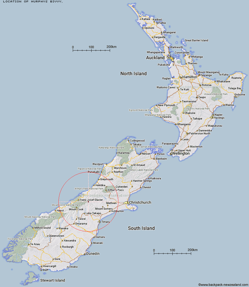
Topo Map showing location of Murphys Bivvy
This information is sourced from DoC, LINZ and Openstreetmap. Some of the hut photos are mine and the rest are from DoC. I will be adding an upload feature soon so people can photos of .Murphys Bivvy.
Latitude: -43.4677629038
Longitude: 170.6773422
Location:
Type of Hut:
Map: Topo Map | Road Map
Does this hut still exist? Have any more information? Contact
Latitude: -43.4677629038
Longitude: 170.6773422
Location:
Type of Hut:
Map: Topo Map | Road Map
Does this hut still exist? Have any more information? Contact
Scroll down to see a topographical map and road map showing the location of Murphys Bivvy
[ A ] [ B ] [ C ] [ D ] [ E ] [ F ] [ G ] [ H ] [ I ] [ J ] [ K ] [ L ] [ M ] [ N ] [ O ] [ P ] [ Q ] [ R ] [ S ] [ T ] [ U ] [ V ] [ W ] [ Y ] [ Z ]
Closest 20 Huts to Murphys Bivvy
These are as the crow fliesForbes Bivouac 2.38km Mistake Flats Hut 2.53km Curtis Memorial Hut 3.31km Carneys Bivvy's 3.38km Saint Winifreds Hut 5.66km Growler Hut 6.9km Watchdog Hut 11.15km McCoy Hut 12.72km Scone Hut 13.45km Godley Hut 13.54km Macaulay Hut 13.88km Erewhon Station Hut 14.01km Black Mountain Hut 14.12km Red Stag Hut 16.24km Eade Memorial Hut 16.78km Dog Kennel Bivouac 16.78km Lawrence Hut 17.54km Crooked Spur Hut 19.58km Top Butler Hut 19.84km Hermitage Hut 20.03km Nolans Hut 20.61km Rankin Hut 22.09km Butler Junction Hut 22.26km Stony Stream Hut 22.75km Murchison Hut 23.52km Lawrence Bivouac 23.59km Potts Hut 23.81km Whymper Hut 24.85km Stone Hut 25.46km Stan's Hut 25.46km Kelman Hut 26.15km Angus Hut 26.42km Lyell Hut 26.54km Hunters Hut 27.48km Tasman Saddle Hut 27.54km Top Hut 28.86km Royal Hut 29.07km Cameron Hut 29.71km Ribbonwood Hut 29.86km Felt Hut 31.18km