Topo Map showing location of Mount Misery Hut
This information is sourced from DoC, LINZ and Openstreetmap. Some of the hut photos are mine and the rest are from DoC. I will be adding an upload feature soon so people can photos of .Mount Misery Hut.
Basic info: basic 4-bunk hut in the Nelson Lakes area.
Latitude: -41.9341682112
Longitude: 172.670590178
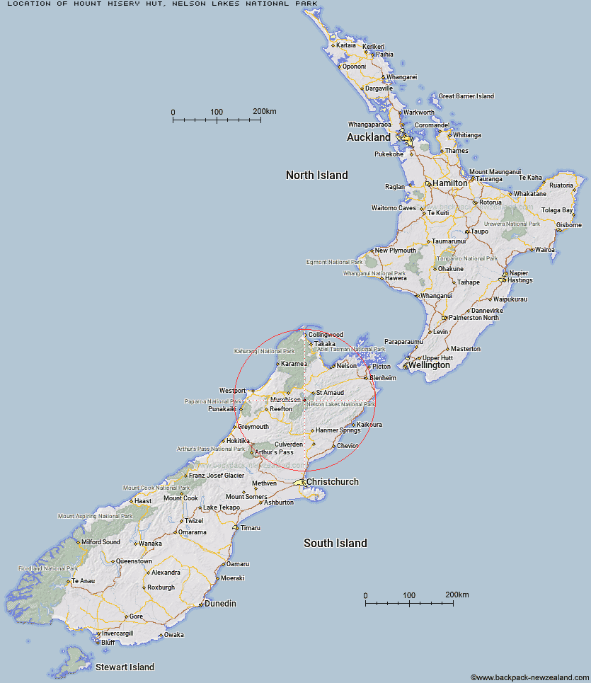
Location: Nelson Lakes National Park
Area: Nelson/Tasman
Type of Hut: Basic/bivvies
Map: BS24 Topo Map | Road Map
Does this hut still exist? Have any more information? Contact
Basic info: basic 4-bunk hut in the Nelson Lakes area.
Latitude: -41.9341682112
Longitude: 172.670590178
Location: Nelson Lakes National Park
Area: Nelson/Tasman
Type of Hut: Basic/bivvies
Map: BS24 Topo Map | Road Map
Does this hut still exist? Have any more information? Contact

Image: DoC
Scroll down to see a topographical map and road map showing the location of Mount Misery Hut
[ A ] [ B ] [ C ] [ D ] [ E ] [ F ] [ G ] [ H ] [ I ] [ J ] [ K ] [ L ] [ M ] [ N ] [ O ] [ P ] [ Q ] [ R ] [ S ] [ T ] [ U ] [ V ] [ W ] [ Y ] [ Z ]
Closest 20 Huts to Mount Misery Hut
These are as the crow fliesD'Urville Hut 3.76km Sabine Hut 3.78km Morgan Hut 6.32km Cupola Hut 6.64km Hopeless Hut 7.13km Tiraumea Hut 7.91km Angelus Hut 8.22km West Sabine Hut 8.28km Mole Hut 8.69km John Tait Hut 9.28km Speargrass Hut 11.37km Upper Travers Hut 11.61km George Lyon Hut 13.71km Blue Lake Hut 13.86km Coldwater Hut 14.04km Lakehead Hut 14.12km Begley Hut 15.37km Matakitaki Base Hut 15.43km Relax Shelter 15.91km Bushedge Shelter 16.28km Bushline Hut 16.64km Connors Creek Hut 19.43km Upper D'Urville Hut 20.09km Paske Hut 20.91km Caroline Creek Bivouac 24.41km Lees Creek Hut 25.18km Downie Hut 25.2km Island Gully Hut 26.86km Nardoo Hut 26.86km Top Misery Hut 27.35km Bull Paddock Creek Hut 29.22km Sedgemere Sleepout 29.32km Lost Stream Bivouac 30.28km East Matakitaki Hut 30.3km Branch Bivouac 30.48km Burn Creek Hut 30.76km Bottom Misery Hut 31.46km Beebys Hut 32.2km Severn Hut 33.43km Mid Silverstream Hut 33.51km