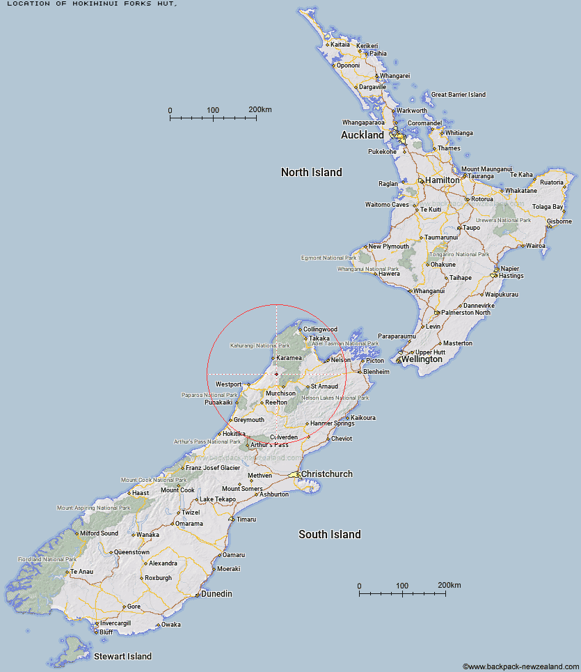
Topo Map showing location of Mokihinui Forks Hut
This information is sourced from DoC, LINZ and Openstreetmap. Some of the hut photos are mine and the rest are from DoC. I will be adding an upload feature soon so people can photos of .Mokihinui Forks Hut.
Latitude: -41.5481804298
Longitude: 172.178591729
Location:
Type of Hut:
Map: Topo Map | Road Map
Does this hut still exist? Have any more information? Contact
Latitude: -41.5481804298
Longitude: 172.178591729
Location:
Type of Hut:
Map: Topo Map | Road Map
Does this hut still exist? Have any more information? Contact
Scroll down to see a topographical map and road map showing the location of Mokihinui Forks Hut
[ A ] [ B ] [ C ] [ D ] [ E ] [ F ] [ G ] [ H ] [ I ] [ J ] [ K ] [ L ] [ M ] [ N ] [ O ] [ P ] [ Q ] [ R ] [ S ] [ T ] [ U ] [ V ] [ W ] [ Y ] [ Z ]
Closest 20 Huts to Mokihinui Forks Hut
These are as the crow fliesSpecimen Point Hut 2.23km Goat Creek Hut 6.63km Larrikin Creek Hut 11.52km Johnson Hut 12.11km Stern Valley Hut 12.96km Poor Pete's Hut 14.01km McConchies Hut 16.06km Ghost Lake Hut 16.96km Lake Matiri Hut 17.4km Hurricane Hut 17.6km Stag Flat Shelter 19.49km Taipo Hut 20.14km Wangapeka Bivouac 20.44km Lyell Saddle Hut 20.62km Helicopter Flat Hut 21.14km Belltown Manunui Hut 22.59km Trevor Carter Hut 24.28km Stone Hut 25.94km Kākāpō Hut 26.15km Cecil Kings Hut 26.62km Kings Creek Hut 26.83km Branch Creek Hut 27.79km Thor Hut 30.63km Kiwi Saddle Hut 30.65km Granity Pass Hut 31.96km Venus Hut 33.68km John Reid Hut 34.91km Greys Hut 35.31km Crow Hut 37.25km Adams Flat Hut 39.1km Sunshine Flat Shelter 41.82km Roaring Lion Hut 44.38km Karamea Bend Hut 44.68km Flanagans Hut 46.13km Kohaihai Shelter 49.23km Tiraumea Hut 52.15km Splugeons Rock Shelter 52.35km Ellis Hut 54.6km D'Urville Hut 55.55km Balloon Hut 56.12km