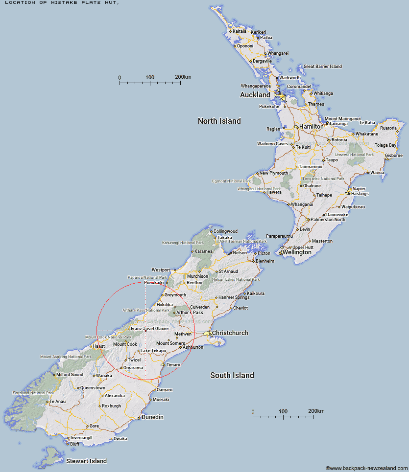
Topo Map showing location of Mistake Flats Hut
This information is sourced from DoC, LINZ and Openstreetmap. Some of the hut photos are mine and the rest are from DoC. I will be adding an upload feature soon so people can photos of .Mistake Flats Hut.
Latitude: -43.4483113288
Longitude: 170.693690949
Location:
Type of Hut:
Map: Topo Map | Road Map
Does this hut still exist? Have any more information? Contact
Latitude: -43.4483113288
Longitude: 170.693690949
Location:
Type of Hut:
Map: Topo Map | Road Map
Does this hut still exist? Have any more information? Contact
Scroll down to see a topographical map and road map showing the location of Mistake Flats Hut
[ A ] [ B ] [ C ] [ D ] [ E ] [ F ] [ G ] [ H ] [ I ] [ J ] [ K ] [ L ] [ M ] [ N ] [ O ] [ P ] [ Q ] [ R ] [ S ] [ T ] [ U ] [ V ] [ W ] [ Y ] [ Z ]
Closest 20 Huts to Mistake Flats Hut
These are as the crow fliesCurtis Memorial Hut 1.58km Murphys Bivvy 2.53km Saint Winifreds Hut 3.58km Forbes Bivouac 4.12km Carneys Bivvy's 5.89km Growler Hut 7.85km Watchdog Hut 8.85km McCoy Hut 10.21km Erewhon Station Hut 12.51km Scone Hut 12.89km Black Mountain Hut 14.49km Godley Hut 15.21km Lawrence Hut 15.74km Macaulay Hut 16.4km Dog Kennel Bivouac 17.76km Hermitage Hut 18.08km Red Stag Hut 18.5km Eade Memorial Hut 18.83km Nolans Hut 20.39km Top Butler Hut 20.69km Crooked Spur Hut 21km Lawrence Bivouac 21.31km Potts Hut 22.85km Butler Junction Hut 23.01km Lyell Hut 24.08km Rankin Hut 24.54km Hunters Hut 25.1km Stony Stream Hut 25.16km Murchison Hut 25.38km Stan's Hut 25.68km Whymper Hut 26.02km Stone Hut 27.2km Top Hut 27.24km Cameron Hut 27.71km Kelman Hut 27.98km Reischek Hut 28.79km Angus Hut 28.94km Tasman Saddle Hut 29.3km Smyth Hut 29.42km Lauper Bivouac 29.69km