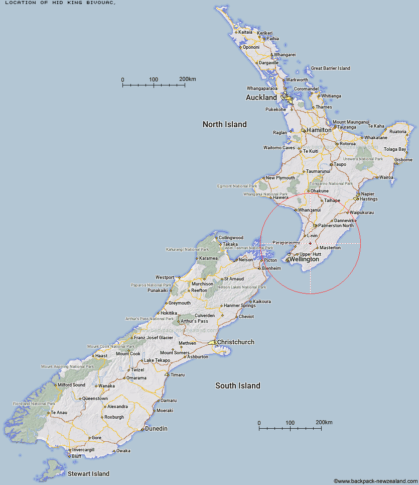
Topo Map showing location of Mid King Bivouac
This information is sourced from DoC, LINZ and Openstreetmap. Some of the hut photos are mine and the rest are from DoC. I will be adding an upload feature soon so people can photos of .Mid King Bivouac.
Latitude: -40.827437531
Longitude: 175.448419392
Location:
Type of Hut:
Map: Topo Map | Road Map
Does this hut still exist? Have any more information? Contact
Latitude: -40.827437531
Longitude: 175.448419392
Location:
Type of Hut:
Map: Topo Map | Road Map
Does this hut still exist? Have any more information? Contact
Scroll down to see a topographical map and road map showing the location of Mid King Bivouac
[ A ] [ B ] [ C ] [ D ] [ E ] [ F ] [ G ] [ H ] [ I ] [ J ] [ K ] [ L ] [ M ] [ N ] [ O ] [ P ] [ Q ] [ R ] [ S ] [ T ] [ U ] [ V ] [ W ] [ Y ] [ Z ]
Closest 20 Huts to Mid King Bivouac
These are as the crow fliesMitre Flats Hut 2.58km Jumbo Hut 3.08km Dorset Ridge Hut 3.11km McGregor Bivouac 3.21km Tarn Ridge Hut 4.21km Atiwhakatu Hut 4.55km Carkeek Hut 6.03km Nichols Hut 6.39km Cow Creek Hut 6.68km Powell Hut 6.7km Arete Forks Hut 6.95km Blue Range Hut 7.03km Mountain House Shelter 7.6km Mid Waiohine Hut 7.64km Anderson Memorial Hut 8.06km Dracophyllum Hut 8.12km Arete Hut 8.82km Aokaparangi Hut 10.3km Te Matawai Hut 10.84km Cattle Ridge Hut 11.79km Waitewaewae Hut 11.97km Totara Flats Hut 12.31km Dundas Hut 12.42km Roaring Stag Hut 12.53km South Ohau Hut 13.13km Maungahuka Hut 13.48km Waiopehu Hut 13.62km Sayer Hut 14km Neill Forks Hut 14.05km North Ohau Hut 15.01km Mangahao Flats Hut 15.12km Penn Creek Hut 15.92km Herepai Hut 16.31km Field Hut 18.47km Kime Hut 19.63km Cone Hut 19.79km Waiohine Shelter 20.61km Waikawa Shelter 20.69km Alpha Hut 22.49km Tutuwai Hut 22.81km