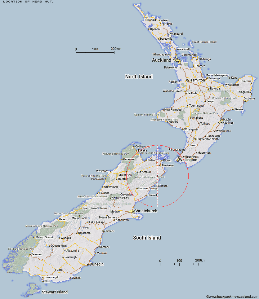
Topo Map showing location of Mead Hut
This information is sourced from DoC, LINZ and Openstreetmap. Some of the hut photos are mine and the rest are from DoC. I will be adding an upload feature soon so people can photos of .Mead Hut.
Latitude: -41.9718061101
Longitude: 173.806723551
Location:
Type of Hut:
Map: Topo Map | Road Map
Does this hut still exist? Have any more information? Contact
Latitude: -41.9718061101
Longitude: 173.806723551
Location:
Type of Hut:
Map: Topo Map | Road Map
Does this hut still exist? Have any more information? Contact
Scroll down to see a topographical map and road map showing the location of Mead Hut
[ A ] [ B ] [ C ] [ D ] [ E ] [ F ] [ G ] [ H ] [ I ] [ J ] [ K ] [ L ] [ M ] [ N ] [ O ] [ P ] [ Q ] [ R ] [ S ] [ T ] [ U ] [ V ] [ W ] [ Y ] [ Z ]
Closest 20 Huts to Mead Hut
These are as the crow fliesMead Hut 0km Gibson Hut 4.01km Cabbage Tree Hut 4.08km Dee Hut 5.66km Swale Hut 7.04km Beechs Hut 7.75km Flynns 8.46km Whernside Hut 10.21km Snowgrass Hut 10.5km Cam Hut 11.31km Zoo Hut 11.34km Hornby Bivvy 11.7km Jam Hut 15.7km Isolation Hut 16.8km Ravine Hut 17.69km Haycocks Bivouac 18.86km Penk Hut 22.94km Old Middlehurst Hut 23.45km Fidgit Bivouac 27.06km Lake Alexander Hut 27.49km Black Birch Bivouac 28.26km Goose Flat Hut 29.04km Omaka Bivouac 29.29km Dillon Hut 30.08km Barratts Bivouac 32.2km Barratts Hut 32.31km Beehive Hut 33.25km McNaughts Hut 33.42km Dubious Bivouac 33.89km Top Whare 34.37km Ramshead Hut 35.2km Hapuku Hut 35.81km Tinpot Hut 37.22km Limestone Hut 38.77km Kowhai Hut 40.29km Blue Mountain Hut 41.74km Burnt Yards Hut 41.91km Mt Fyffe Hut 42.93km Seymour Hut 43.67km Gosling Hut 44.59km