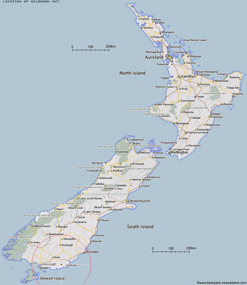
Topo Map showing location of McLennan Hut
This information is sourced from DoC, LINZ and Openstreetmap. Some of the hut photos are mine and the rest are from DoC. I will be adding an upload feature soon so people can photos of .McLennan Hut.
Latitude: -46.4321791202
Longitude: 169.361626221
Location:
Type of Hut:
Map: Topo Map | Road Map
Does this hut still exist? Have any more information? Contact
Latitude: -46.4321791202
Longitude: 169.361626221
Location:
Type of Hut:
Map: Topo Map | Road Map
Does this hut still exist? Have any more information? Contact
Scroll down to see a topographical map and road map showing the location of McLennan Hut
[ A ] [ B ] [ C ] [ D ] [ E ] [ F ] [ G ] [ H ] [ I ] [ J ] [ K ] [ L ] [ M ] [ N ] [ O ] [ P ] [ Q ] [ R ] [ S ] [ T ] [ U ] [ V ] [ W ] [ Y ] [ Z ]
Closest 20 Huts to McLennan Hut
These are as the crow fliesTautuku Hut 13.81km Iron Hut 72.81km Beaumont Hut 74.66km Leithen Hut 78.53km Stronach Hut 92.1km Tent Hut 93.08km Black Hut 94.66km Sullivan Hut 98.5km Hyde Home Hut 98.6km Jim Baird Hut 100.95km The Swamp Hut 102.24km Flaxy Hut 102.6km Titan Huts 103.13km Junction Hut 103.38km Junction Hut 103.42km Christies Hut 106.23km Dome Hut 107.02km Port William Hut 107.16km Canadian Hut 107.63km Bush Huts 107.86km Ben Rudds Hut 108.35km Poplar Hut 108.95km Chew Tobacco Hunters Hut 109km Howells Hut 109.47km Bungaree Hut 109.74km Little Glory Hunters Hut 110.06km Blue Lake Huts 110.84km North Big Glory Hunters Hut 110.98km Murray River Hunters Hut 111.15km Christmas Village Hut 111.16km Christmas Village Hunters Hut 111.3km Potters Huts 113.04km Andrew Rees Hut 113.24km Mt John Hut 113.36km Port Adventure Hunters Hut 113.42km North Arm Hut 114.15km Hapuatuna Hunters Hut 114.27km Jubilee Hut 114.94km Possum Hut 114.97km Kellys Hunters Hut 115.37km