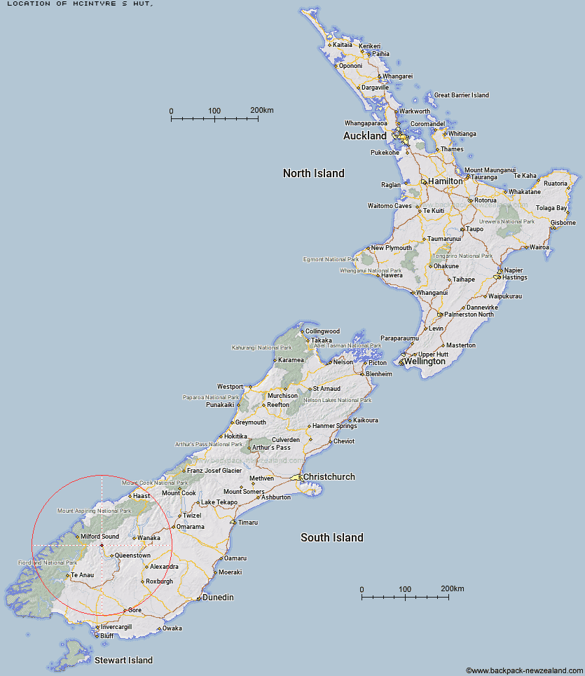
Topo Map showing location of McIntyre's Hut
This information is sourced from DoC, LINZ and Openstreetmap. Some of the hut photos are mine and the rest are from DoC. I will be adding an upload feature soon so people can photos of .McIntyre's Hut.
Latitude: -44.8375650391
Longitude: 168.444362301
Location:
Type of Hut:
Map: Topo Map | Road Map
Does this hut still exist? Have any more information? Contact
Latitude: -44.8375650391
Longitude: 168.444362301
Location:
Type of Hut:
Map: Topo Map | Road Map
Does this hut still exist? Have any more information? Contact
Scroll down to see a topographical map and road map showing the location of McIntyre's Hut
[ A ] [ B ] [ C ] [ D ] [ E ] [ F ] [ G ] [ H ] [ I ] [ J ] [ K ] [ L ] [ M ] [ N ] [ O ] [ P ] [ Q ] [ R ] [ S ] [ T ] [ U ] [ V ] [ W ] [ Y ] [ Z ]
Closest 20 Huts to McIntyre's Hut
These are as the crow fliesMcIntosh Hut 1.15km Jean Hut 1.81km Heather Jock Hut 2.06km Bonnie Jean Hut 2.43km Wallers Hut 3.53km Kelly's Hut 4.83km Stoney Creek Hut 11.36km Mid Caples Hut 14.79km Home Hill Hut 15.68km Archie's Hut - Copper Creek 15.9km Kay Creek Hut 16.19km Butchers Hut 17.02km Upper Caples Hut 17.53km Crystal Hut 17.62km Dynamo Hut 17.67km Sainsburys Huts 18.31km Routeburn Shelter 18.59km Slip Flat Hut 18.82km Bullendale Hut 18.91km Ballarat Hut - Flood Burn 19.34km Green Gate Huts 20.64km Steele Creek Hut 20.73km Greenstone Hut 21.29km Peats Hut 21.79km Routeburn Flats Hut 21.94km Twenty Five Mile Hut 22km Lake Mackenzie Lodge 22.7km Lake Mackenzie Hut 22.73km Steele Creek Lodge 22.84km Routeburn Falls Hut 22.98km Routeburn Falls Lodge 22.99km Rats Nest Hut 23.6km McKellar Hut 23.9km McKellar Lodge 23.93km Earnslaw Hut 24km Sam Summers Hut 24.34km Lake Howden Hut 24.49km Sixteen Mile Huts 24.52km Esquilant Bivvy Hut 24.88km The Divide Shelter 25.81km