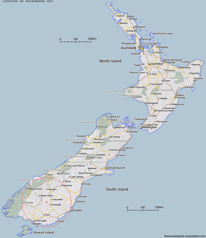
Topo Map showing location of McCrimmons Hut
This information is sourced from DoC, LINZ and Openstreetmap. Some of the hut photos are mine and the rest are from DoC. I will be adding an upload feature soon so people can photos of .McCrimmons Hut.
Latitude: -45.3930281426
Longitude: 169.083582091
Location:
Type of Hut:
Map: Topo Map | Road Map
Does this hut still exist? Have any more information? Contact
Latitude: -45.3930281426
Longitude: 169.083582091
Location:
Type of Hut:
Map: Topo Map | Road Map
Does this hut still exist? Have any more information? Contact
Scroll down to see a topographical map and road map showing the location of McCrimmons Hut
[ A ] [ B ] [ C ] [ D ] [ E ] [ F ] [ G ] [ H ] [ I ] [ J ] [ K ] [ L ] [ M ] [ N ] [ O ] [ P ] [ Q ] [ R ] [ S ] [ T ] [ U ] [ V ] [ W ] [ Y ] [ Z ]
Closest 20 Huts to McCrimmons Hut
These are as the crow fliesDiggers Hut 2.33km Andrew Rees Hut 5.65km Potters Huts 6.06km Boundary Hut 8.51km Nicholsons Hut 9.17km Bush Huts 10.65km Christies Hut 11.33km Whites Hut 14.87km Blue Lake Huts 14.88km Junction Hut 15.25km Baileys Hut 17.18km Titan Huts 18.93km Old Woman Hut 20.59km Junction Hut 23.57km Black Hut 24.91km Flaxy Hut 24.91km Garston Ski Hut 27.05km Stronach Hut 27.13km Slate Hut 27.35km Dome Hut 28.38km Mud Hut 28.78km Two Mile Hut 32.76km Hyde Home Hut 33.67km Cairnmuir Musterer's Hut 33.75km Jim Baird Hut 34.79km Sullivan Hut 35.9km Mitchells Hut 36.3km Glen Roy Raceman's Hut 37.76km Ross Hut 39.43km Siberia Hut 40.64km Leithen Hut 40.7km Long Burn Hut 42.17km Beaumont Hut 43.85km Billy Hut 47.82km Cowshed Hut 47.84km Deep Creek Hut 48.56km Saint Marys Hut 49.17km Shepherd Creek Hut 50.89km Mansion Hut 52.79km Meg Hut 53.08km