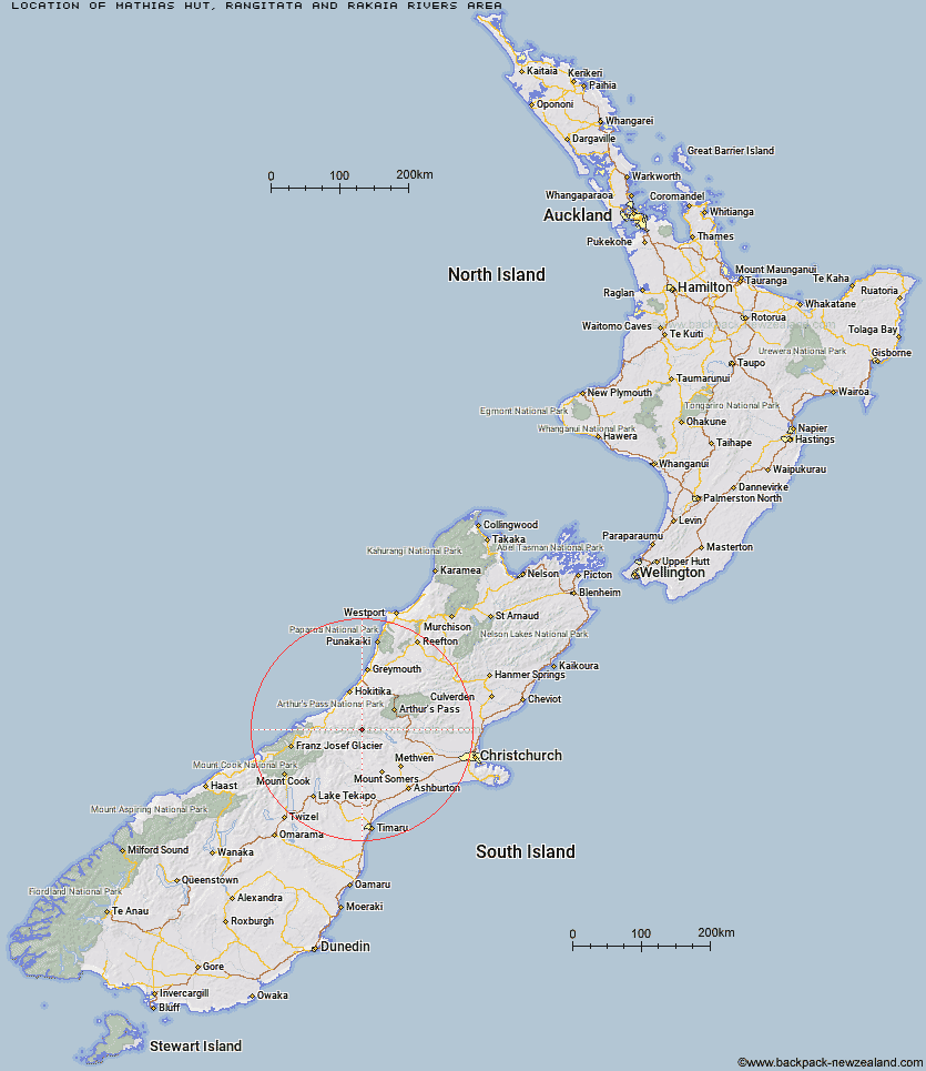
Topo Map showing location of Mathias Hut
This information is sourced from DoC, LINZ and Openstreetmap. Some of the hut photos are mine and the rest are from DoC. I will be adding an upload feature soon so people can photos of .Mathias Hut.
Basic info: basic four-bunk hut in the Mid and South Canterbury area.
Latitude: -43.187123614
Longitude: 171.131371504
Location: Rangitata and Rakaia Rivers area
Area: Canterbury
Type of Hut: Basic/bivvies
Map: BW19 Topo Map | Road Map
Does this hut still exist? Have any more information? Contact
Basic info: basic four-bunk hut in the Mid and South Canterbury area.
Latitude: -43.187123614
Longitude: 171.131371504
Location: Rangitata and Rakaia Rivers area
Area: Canterbury
Type of Hut: Basic/bivvies
Map: BW19 Topo Map | Road Map
Does this hut still exist? Have any more information? Contact
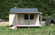
Image: DoC
Scroll down to see a topographical map and road map showing the location of Mathias Hut
[ A ] [ B ] [ C ] [ D ] [ E ] [ F ] [ G ] [ H ] [ I ] [ J ] [ K ] [ L ] [ M ] [ N ] [ O ] [ P ] [ Q ] [ R ] [ S ] [ T ] [ U ] [ V ] [ W ] [ Y ] [ Z ]
Closest 20 Huts to Mathias Hut
These are as the crow fliesCentennial Cabin 0.83km Moraine Hut 1.18km West Mathias Bivouac 4.08km Canyon Creek Bivouac 9.02km Jellicoe Hut 10.52km Evans Hut 11.46km Wilkinson Hut 11.96km Neave Hut 12.09km Moa Stream Hut 12.31km Frew Saddle Bivouac 12.67km Price Flat Hut 13.21km Washbourne Hut 13.37km Price Flat Hut 13.42km Banfield Hut 13.8km Thompsons Hut 14.04km Sir Robert Hut 14.42km Price Basin Hut 14.97km Bluff Hut 15.61km Downs Hut 16.2km Lauper Bivouac 16.23km Frew Hut 16.88km Poet Hut 16.89km Reischek Hut 17.03km Frisco Hut 17.36km Unknown Stream Hut 17.75km Moa Hut 17.76km Toaroha Saddle Bivouac 18.34km Ivory Lake Hut 18.6km Mungo Hut 18.69km Manuels Hut 18.91km Top Toaroha Hut 19.41km Serpentine Hut 19.76km Fanghill Hut 20.5km Mullins Hut 21.18km Crystal Bivouac 21.27km Top Waitaha Hut 21.58km Rapid Creek Hut 21.85km Lyell Hut 21.85km Charlies Hut 21.92km Cameron Hut 22.01km