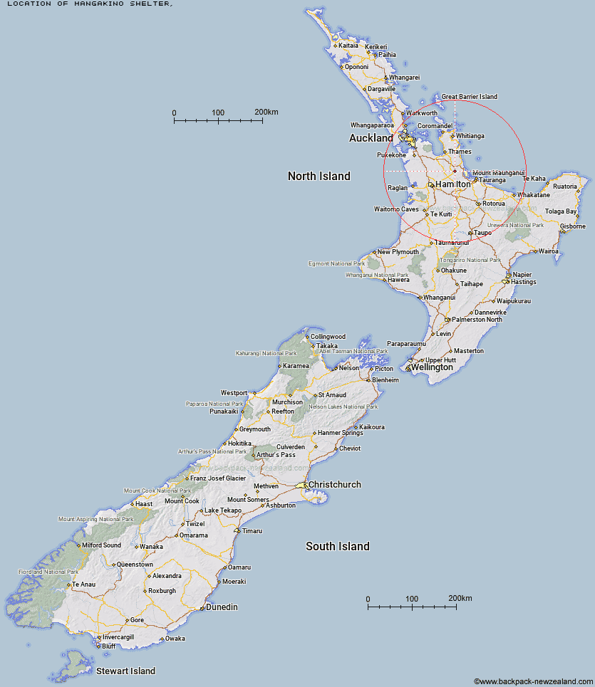
Topo Map showing location of Mangakino Shelter
This information is sourced from DoC, LINZ and Openstreetmap. Some of the hut photos are mine and the rest are from DoC. I will be adding an upload feature soon so people can photos of .Mangakino Shelter.
Latitude: -37.5146658818
Longitude: 175.749964885
Location:
Type of Hut:
Map: Topo Map | Road Map
Does this hut still exist? Have any more information? Contact
Latitude: -37.5146658818
Longitude: 175.749964885
Location:
Type of Hut:
Map: Topo Map | Road Map
Does this hut still exist? Have any more information? Contact
Scroll down to see a topographical map and road map showing the location of Mangakino Shelter
[ A ] [ B ] [ C ] [ D ] [ E ] [ F ] [ G ] [ H ] [ I ] [ J ] [ K ] [ L ] [ M ] [ N ] [ O ] [ P ] [ Q ] [ R ] [ S ] [ T ] [ U ] [ V ] [ W ] [ Y ] [ Z ]
Closest 20 Huts to Mangakino Shelter
These are as the crow fliesDaly's Clearing Hut 3.54km Waitawheta Hut 5.13km Wairoa Shelter 8.79km Te Rereatukahia Hut 10.66km Motutapere Hut 14.37km Kauritatahi Hut 19.38km Ngamuwahine Shelter 32.63km Mangamuka Hut 32.99km Hurunui Hut 37.15km Pinnacles Hut 52.66km Crosbies Hut 53.74km Piggotts Hut 70.32km Pahautea Hut 78.62km Wildlife Hut 99.38km Wairua Hut 99.97km Hamilton Tomo Group Hut 100.52km Bog Inn Hut 119.28km Ongaruanuku Hut 128.22km Waihua Hut 131.04km Waihaha Hut 131.9km Mangamako Hut 132.75km Leitchs Hut 132.89km Twain (Waipotiki) Hut 133.26km Saddle (Mangaawai) Hut 134.33km Casino Hut 135.04km Apiti Hut 136.49km Duckville Hut 136.72km Horomanga Base Camp 137.27km Hauhungaroa Hut 138.78km Wharekahika Hut 139.23km Ohora Hut 142.39km Manaohou Right Branch Hut 143.03km Okui Hut 144.68km Onepu Hut 146.19km Waikare Junction Hut 146.85km Hanamahihi Hut 146.93km Mangapouri Hut 147.93km Ohane Hut 149.47km Mt Heale Hut 149.94km Kaiaraara Hut 151.68km